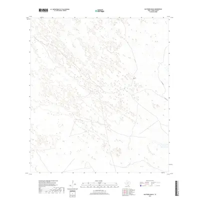
2019 Map of San Pedro Ranch
USGS Topo · Published 2019About this map
The San Pedro Ranch anchors this portion of Kenedy County, set within a landscape defined by the shifting geography of South Texas. The map illustrates a region where sparse human infrastructure meets an intricate network of wetlands and ephemeral water features. The terrain is largely dominated by these natural formations, with only a few named routes like Gulf Wind Rd and E Turcotte Rd providing passage through the ranch lands. This 2019 survey documents the enduring ranching character of the area, showing how modern corridors interface with a traditional coastal prairie environment that remains largely undivided by dense settlement.
Find a feature on this map
3 named features on this map. Tap any name to fly to it.
Don’t see what you’re looking for? This feature index may not catch every label — zoom into the map to look around manually.
Map Details
Editions of this 2019 San Pedro Ranch Map
This is the sole edition of this map. No revisions or reprints were ever made.
Other maps of this area

1923 · Armstrong
USGS Topo · 1:62,500

1923 · Saltillo Ranch
USGS Topo · 1:62,500

1928 · Sarita
USGS Topo · 1:125,000

1950 · Corpus Christi
USGS Topo · 1:250,000

1952 · Sarita 4 SE
USGS Topo · 1:24,000

1953 · Brownsville
USGS Topo · 1:250,000

1954 · La Parra Ranch SW
USGS Topo · 1:24,000

1954 · Sarita
USGS Topo · 1:62,500
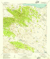
1955 · La Parra Ranch
USGS Topo · 1:62,500

1956 · Corpus Christi
USGS Topo · 1:250,000