
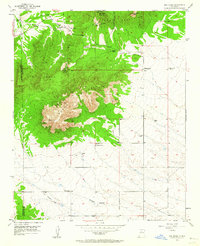
1954 Map of San Pedro
USGS Topo · Published 1955About this map
The San Pedro Mountains and the northern slopes of South Mountain dominate this mid-century survey, illustrating a landscape defined by ranching and legacy mining activity. Small, scattered settlements and homesteads like San Pedro, Ranchito, and the Horton Place sit at the fringes of the San Pedro Grant, connected by winding roads and an Old Railroad Grade that speaks to earlier industrial transit.
Find a feature on this map
27 named features on this map. Tap any name to fly to it.
Don’t see what you’re looking for? This feature index may not catch every label — zoom into the map to look around manually.
Map Details
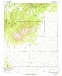
Editions of this 1954 San Pedro Map
3 editions found
Other maps of this area

1892 · San Pedro
USGS Topo · 1:125,000

1954 · Sandia Park
USGS Topo · 1:24,000

1954 · Sedillo
USGS Topo · 1:24,000

1954 · Hagan
USGS Topo · 1:24,000

1954 · Edgewood
USGS Topo · 1:24,000

1954 · San Felipe Pueblo
USGS Topo · 1:62,500

1956 · Edgewood
USGS Topo · 1:62,500

1958 · Albuquerque
USGS Topo · 1:250,000

1961 · Madrid
USGS Topo · 1:62,500

1962 · Albuquerque
USGS Topo · 1:250,000