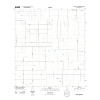
2013 Map of San Perlita South
USGS Topo · Published 2013About this map
Los Coyotes serves as the primary focal point of this South Texas landscape, where agricultural infrastructure and small-scale aviation define the local economy. The presence of the Los Coyotes Gin indicates the area's continued reliance on cotton processing, a cornerstone of Willacy County industry. The terrain is structured by a rigid grid of rural roads and farm-to-market routes, such as Farm-To-Market Road 3142, which facilitate the movement of goods between the fields and processing centers. North of the main settlement, the T.R. Funk Inc Airport provides a specialized landing strip for the region. This 2013 survey illustrates a late-modern agricultural landscape where irrigation and transportation networks are tightly integrated, connecting remote farmsteads via corridors like Johnson Rd and Palomar Ave.
Find a feature on this map
49 named features on this map. Tap any name to fly to it.
Don’t see what you’re looking for? This feature index may not catch every label — zoom into the map to look around manually.
Map Details
Editions of this 2013 San Perlita South Map
This is the sole edition of this map. No revisions or reprints were ever made.
Other maps of this area

1921 · Tarida Ranch
USGS Topo · 1:62,500

1922 · La Sal Vieja
USGS Topo · 1:62,500

1929 · Santa Rosa
USGS Topo · 1:24,000

1932 · Combes
USGS Topo · 1:31,680

1933 · Santa Rosa
USGS Topo · 1:31,680

1933 · Paso Real
USGS Topo · 1:31,680

1953 · Brownsville
USGS Topo · 1:250,000

1956 · San Perlita South
USGS Topo · 1:24,000

1956 · San Perlita North
USGS Topo · 1:24,000

1956 · Santa Rosa
USGS Topo · 1:24,000