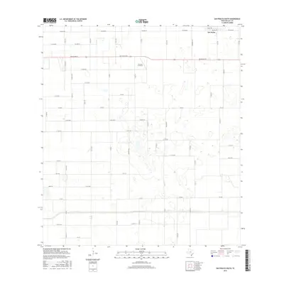
2016 Map of San Perlita South
USGS Topo · Published 2016About this map
San Perlita sits at the northern edge of this coastal prairie landscape in Willacy County, where the geometric precision of the Texas agricultural grid meets a terrain punctuated by numerous wetlands and depressions. The area is defined by a dense network of secondary roads such as Red Fish Bay Rd and Tiffen Rd, which support the local ranching and farming operations. Central to the local infrastructure is the T.R. Funk Inc Airport, while the nomenclature of the landscape is reflected in specific family and place names like De Luna and Anaquia Co Rd. The survey illustrates a specialized coastal environment where modern aviation and traditional land management coexist alongside features like Chappel Rd and Gillard Rd.
Find a feature on this map
61 named features on this map. Tap any name to fly to it.
Don’t see what you’re looking for? This feature index may not catch every label — zoom into the map to look around manually.
Map Details
Editions of this 2016 San Perlita South Map
This is the sole edition of this map. No revisions or reprints were ever made.
Other maps of this area

1921 · Tarida Ranch
USGS Topo · 1:62,500

1922 · La Sal Vieja
USGS Topo · 1:62,500

1929 · Santa Rosa
USGS Topo · 1:24,000

1932 · Combes
USGS Topo · 1:31,680

1933 · Santa Rosa
USGS Topo · 1:31,680

1933 · Paso Real
USGS Topo · 1:31,680

1953 · Brownsville
USGS Topo · 1:250,000

1956 · San Perlita South
USGS Topo · 1:24,000

1956 · San Perlita North
USGS Topo · 1:24,000

1956 · Santa Rosa
USGS Topo · 1:24,000