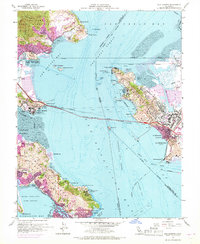
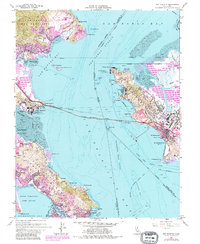
1959 Map of San Quentin
USGS Topo · Published 1969About this map
San Pablo Strait serves as the central artery of this coastal landscape, connecting San Francisco Bay to San Pablo Bay during a period of significant infrastructure development. The Richmond - San Rafael Bridge spans the water, anchoring the industrial coastline of Pt Richmond to the Marin County shore near San Quentin State Prison. This era's maritime and defense footprint is prominent, marked by the Naval Fuel Supply Depot at Pt Molate and the Tiburon Naval Net Depot on the southern tip of the Tiburon Peninsula. On the Marin side, the hills of the Mount Tamalpais Game Refuge overlook emerging residential areas like Paradise Cay and the historic incorporated enclave of Belvedere. Rail lines including the Atchison Topeka & Santa Fe and the Northwestern Pacific trace the shorelines, supporting a landscape where heavy industry and private recreation, such as the Peacock Gap Golf & Country Club, coexist.
Find a feature on this map
71 named features on this map. Tap any name to fly to it.
Don’t see what you’re looking for? This feature index may not catch every label — zoom into the map to look around manually.
Map Details
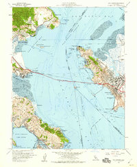
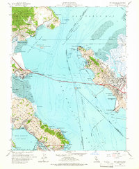
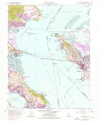
Editions of this 1959 San Quentin Map
5 editions found
Other maps of this area

1895 · San Francisco
USGS Topo · 1:62,500

1897 · Tamalpais
USGS Topo · 1:62,500

1899 · San Francisco
USGS Topo · 1:62,500

1902 · Napa
USGS Topo · 1:125,000

1914 · Petaluma
USGS Topo · 1:62,500

1915 · San Francisco
USGS Topo · 1:62,500

1916 · Mare Island
USGS Topo · 1:62,500

1941 · Tamalpais
USGS Topo · 1:62,500

1942 · Mare Island
USGS Topo · 1:62,500

1942 · Petaluma
USGS Topo · 1:62,500