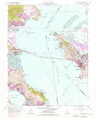
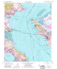
1959 Map of San Quentin
USGS Topo · Published 1976About this map
The Richmond - San Rafael Bridge anchors this mid-century survey of the North Bay, connecting the industrial waterfront of Richmond to the peninsula at San Quentin. This area was a critical maritime and military hub during the post-war era, dominated by large-scale facilities such as the Naval Fuel Supply Depot and the Tiburon Naval Net Depot at Pt Chauncey. While the iconic San Quentin State Prison stands at the western bridgehead, the surrounding hillsides show the emerging residential patterns of Paradise Cay and Belvedere.
Find a feature on this map
85 named features on this map. Tap any name to fly to it.
Don’t see what you’re looking for? This feature index may not catch every label — zoom into the map to look around manually.
Map Details
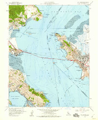
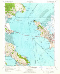
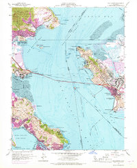
Editions of this 1959 San Quentin Map
5 editions found
Other maps of this area

1895 · San Francisco
USGS Topo · 1:62,500

1897 · Tamalpais
USGS Topo · 1:62,500

1899 · San Francisco
USGS Topo · 1:62,500

1902 · Napa
USGS Topo · 1:125,000

1914 · Petaluma
USGS Topo · 1:62,500

1915 · San Francisco
USGS Topo · 1:62,500

1916 · Mare Island
USGS Topo · 1:62,500

1941 · Tamalpais
USGS Topo · 1:62,500

1942 · Mare Island
USGS Topo · 1:62,500

1942 · Petaluma
USGS Topo · 1:62,500