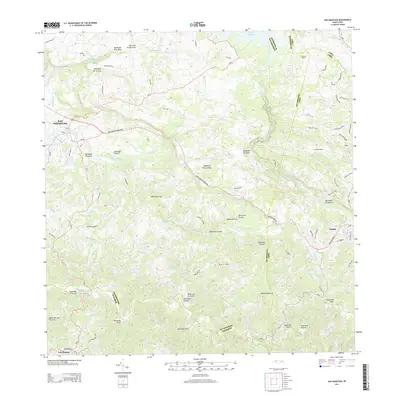
2013 Map of San Sebastian
USGS Topo · Published 2013About this map
San Sebastián serves as the primary hub in this detailed look at Puerto Rico's interior during the early 21st century. The landscape is defined by an intricate network of waterways, including the winding Rio Culebrinas and the Rio Guatemala, which carve through the terrain toward the northern reaches of the island. Significant agricultural and industrial heritage is evident at Central Soller, while the town of Lares anchors the eastern edge of the survey.
Find a feature on this map
47 named features on this map. Tap any name to fly to it.
Don’t see what you’re looking for? This feature index may not catch every label — zoom into the map to look around manually.
Map Details
Editions of this 2013 San Sebastian Map
This is the sole edition of this map. No revisions or reprints were ever made.
Other maps of this area

1937 · Moca
USGS Topo · 1:20,000

1938 · Alto Sano
USGS Topo · 1:20,000

1938 · Camuy
USGS Topo · 1:20,000

1938 · San Sebastian
USGS Topo · 1:20,000

1938 · Quebradillas
USGS Topo · 1:20,000

1941 · Moca
USGS Topo · 1:30,000

1941 · San Sebastian
USGS Topo · 1:30,000

1941 · Rosario
USGS Topo · 1:30,000

1942 · Moca
USGS Topo · 1:30,000

1942 · Central La Plata
USGS Topo · 1:30,000