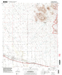
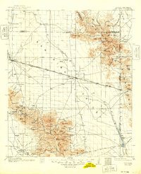
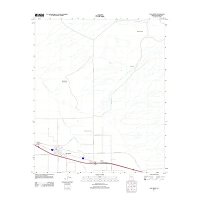
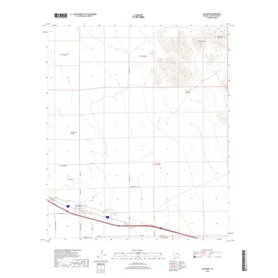
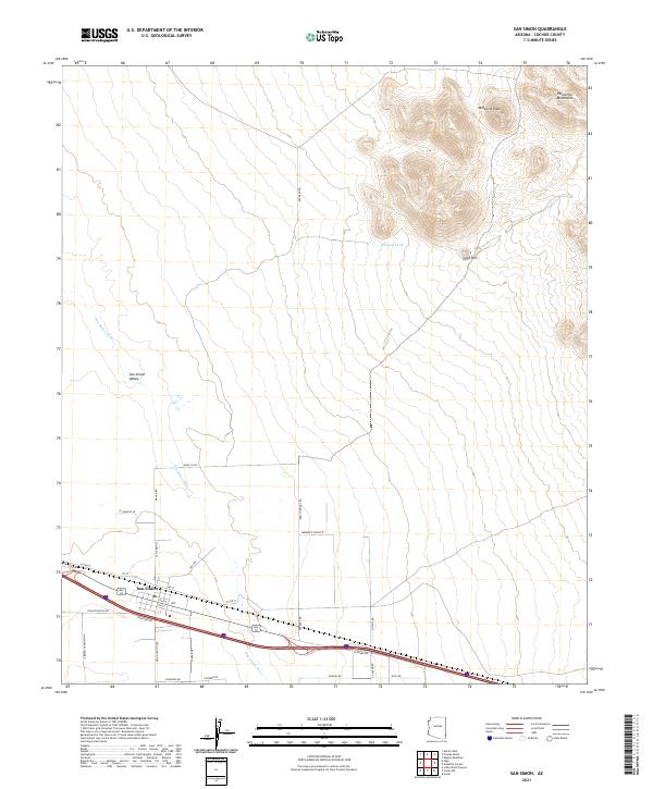
1998 Map of San Simon
USGS Topo · Published 2003About this map
The San Simon settlement serves as the primary hub of this high-desert landscape in Cochise County, anchoring a region defined by agricultural infrastructure and the surrounding topography. The local economy and community life are evidenced by the presence of a Cotton Gin, Silos, and a central Athletic Field and Rodeo Ground. To the east, the terrain rises sharply into the Peloncillo Mountains and the protected Peloncillo Mountains Wilderness, where landmarks like Mc Kenzie Peak and Gold Hill overlook the basin. Resource extraction and water management are prominent throughout the survey, noted by scattered Mine Shafts, an Adit, and several water sources including Copper Well and Hat Top Tank. The transportation network is marked by a Landing Strip and a long-distance Pipeline, while the USDA Check Station indicates the area's role in interstate transit and agricultural monitoring.
Find a feature on this map
25 named features on this map. Tap any name to fly to it.
Don’t see what you’re looking for? This feature index may not catch every label — zoom into the map to look around manually.
Map Details
Editions of this 1998 San Simon Map
This is the sole edition of this map. No revisions or reprints were ever made.
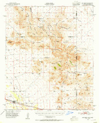
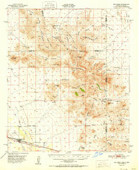
Historical Maps of San Simon Through Time
10 maps found
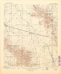
1917 San Simon
Cochise County, AZ
1950 San Simon
Cochise County, AZ
1951 San Simon
Cochise County, AZ
1962 San Simon
Cochise County, AZ
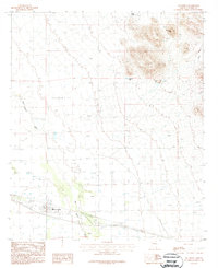
1987 San Simon
Cochise County, AZ
1998 San Simon
Cochise County, AZ
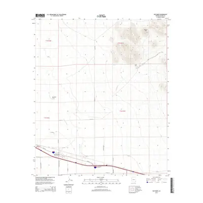
2011 San Simon
Cochise County, AZ
2014 San Simon
Cochise County, AZ
2018 San Simon
Cochise County, AZ
2021 San Simon
Cochise County, AZ