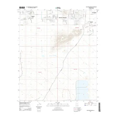
2014 Map of San Xavier Mission
USGS Topo · Published 2014About this map
The San Xavier Mission serves as a prominent cultural and religious landmark southwest of Tucson, anchoring a landscape where desert terrain meets modern infrastructure. To the west, the growing residential communities of Valencia West and Drexel Heights expand across the valley floor, defined by a dense grid of local roads like W Los Reales Rd and S Camino Verde. Central to the area's hydrology is the Central Arizona Project Aqueduct, which cuts through the terrain as a vital water artery.
Find a feature on this map
76 named features on this map. Tap any name to fly to it.
Don’t see what you’re looking for? This feature index may not catch every label — zoom into the map to look around manually.
Map Details
Editions of this 2014 San Xavier Mission Map
This is the sole edition of this map. No revisions or reprints were ever made.
Other maps of this area

1904 · Patagonia
USGS Topo · 1:125,000

1904 · Tucson
USGS Topo · 1:125,000

1905 · Patagonia
USGS Topo · 1:125,000

1905 · Tucson
USGS Topo · 1:125,000

1920 · Arivaca
USGS Topo · 1:125,000

1925 · Samaniego Peak
USGS Topo · 1:62,500

1925 · San Xavier
USGS Topo · 1:62,500

1926 · Helvetia
USGS Topo · 1:62,500

1934 · Tucson Mountains
USGS Topo · 1:125,000

1939 · Twin Buttes
USGS Topo · 1:62,500