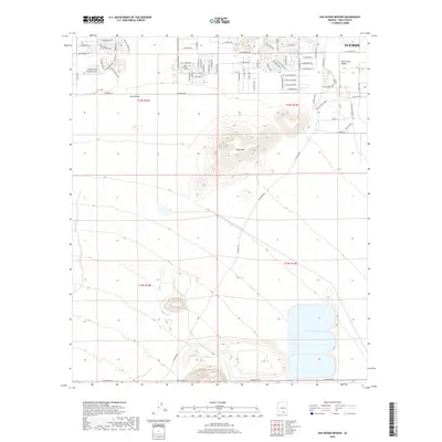
2018 Map of San Xavier Mission
USGS Topo · Published 2018About this map
The Santa Cruz Valley south of Tucson is defined by a blend of residential expansion and significant geographic landmarks. Rising prominently above the surrounding desert is Black Mtn, providing a stark contrast to the development in the Avra Valley. The map details the complex infrastructure of the region, including the Central Arizona Project Aqueduct as it traverses the arid landscape. Genealogists and local historians will find value in the documentation of local burial sites, specifically Monte Calvario Cem and the San Xavier Cem. The residential street network shows a growing community, with thoroughfares such as W Hermans Rd and W Tetakuisim Rd connecting these disparate desert settlements.
Find a feature on this map
74 named features on this map. Tap any name to fly to it.
Don’t see what you’re looking for? This feature index may not catch every label — zoom into the map to look around manually.
Map Details
Editions of this 2018 San Xavier Mission Map
This is the sole edition of this map. No revisions or reprints were ever made.
Other maps of this area

1904 · Patagonia
USGS Topo · 1:125,000

1904 · Tucson
USGS Topo · 1:125,000

1905 · Patagonia
USGS Topo · 1:125,000

1905 · Tucson
USGS Topo · 1:125,000

1920 · Arivaca
USGS Topo · 1:125,000

1925 · Samaniego Peak
USGS Topo · 1:62,500

1925 · San Xavier
USGS Topo · 1:62,500

1926 · Helvetia
USGS Topo · 1:62,500

1934 · Tucson Mountains
USGS Topo · 1:125,000

1939 · Twin Buttes
USGS Topo · 1:62,500