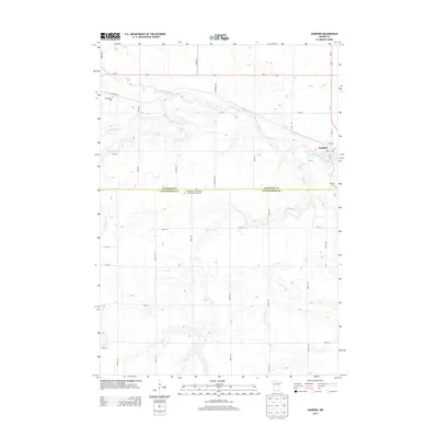
2013 Map of Sanborn
USGS Topo · Published 2013About this map
The town of Sanborn serves as the focal point of this southwestern Minnesota landscape, situated at the intersection of Us-14 and Us-71. The Cottonwood River meanders across the northern half of the region, joined by several tributaries including Dutch Charley Cr and Highwater Cr. The map reveals a highly structured agricultural grid, where long avenues like Kenwood Ave and Knox Ave partition the terrain between the borders of Redwood Co and Cottonwood Co. For those researching local history, the placement of the Germantown Evangelical United Methodist Cem and the Sanborn Cem provides significant data points on early community nodes outside the main town center. The drainage patterns of Dry Cr in the south further illustrate the local topography that dictated early road placement and property lines in this prairie region.
Find a feature on this map
36 named features on this map. Tap any name to fly to it.
Don’t see what you’re looking for? This feature index may not catch every label — zoom into the map to look around manually.
Map Details
Editions of this 2013 Sanborn Map
This is the sole edition of this map. No revisions or reprints were ever made.
Other maps of this area

1953 · New Ulm
USGS Topo · 1:250,000

1957 · New Ulm
USGS Topo · 1:250,000

1958 · New Ulm
USGS Topo · 1:250,000

1967 · New Ulm
USGS Topo · 1:250,000

1967 · Wanda
USGS Topo · 1:24,000

1967 · Sanborn
USGS Topo · 1:24,000

1967 · Wabasso SE
USGS Topo · 1:24,000

1967 · Clements SE
USGS Topo · 1:24,000

1967 · Sanborn SE
USGS Topo · 1:24,000

1967 · Sanborn NE
USGS Topo · 1:24,000