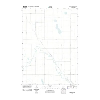
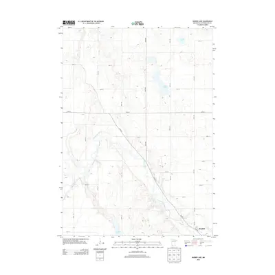
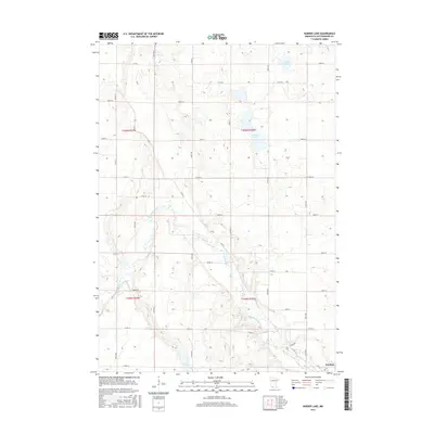
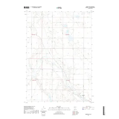
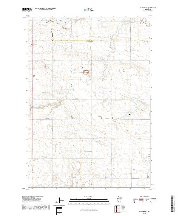
1967 Map of Sanborn SE
USGS Topo · Published 1968About this map
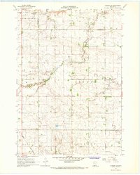
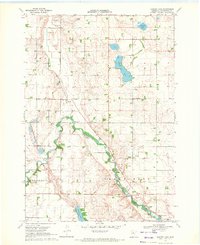
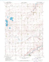
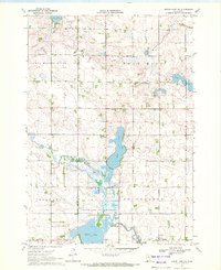
The Little Cottonwood River and Red Rock Creek wind through this mid-century agricultural landscape in Cottonwood and Brown counties. The terrain is characterized by the Red Rock Dells in the northwest, a geological focal point near the township boundaries of Germantown and Storden. Settlement patterns are defined by small rural hubs such as the Townhall and Delton Cem in Delton township, alongside the Jeffers Ch located further west. The southern portion of the map is dominated by the drainage of the Watonwan River and its North Fork Watonwan River. Industrial and transport footprints are visible in the form of a Quarry and the tracks of the Chicago and North Western railroad crossing the southern landscape through Dale and Carson townships.
Find a feature on this map
18 named features on this map. Tap any name to fly to it.
Don’t see what you’re looking for? This feature index may not catch every label — zoom into the map to look around manually.
Map Details
Editions of this 1967 Sanborn SE Map
This is the sole edition of this map. No revisions or reprints were ever made.
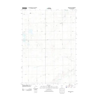
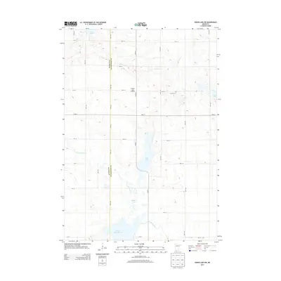
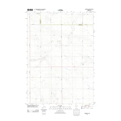
Historical Maps of Brown County Through Time
24 maps found
1967 Sanborn SE
Cottonwood County, MN
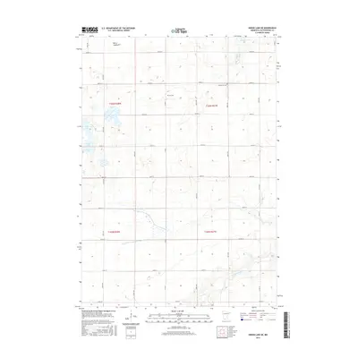
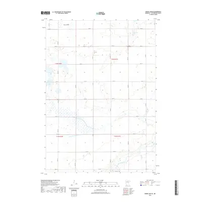
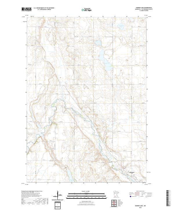
1970 Harder Lake
Cottonwood County, MN
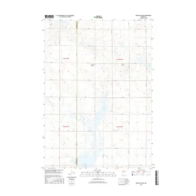
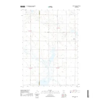
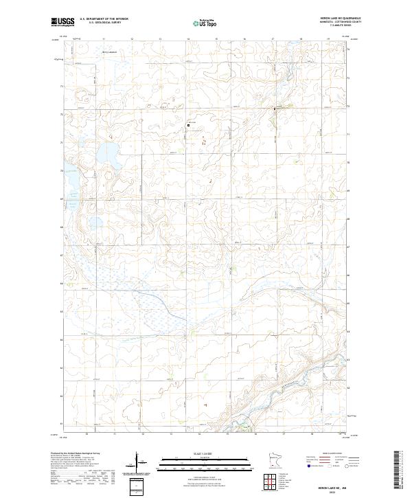
1970 Heron Lake NE
Cottonwood County, MN
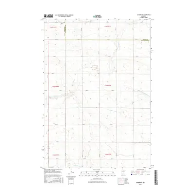
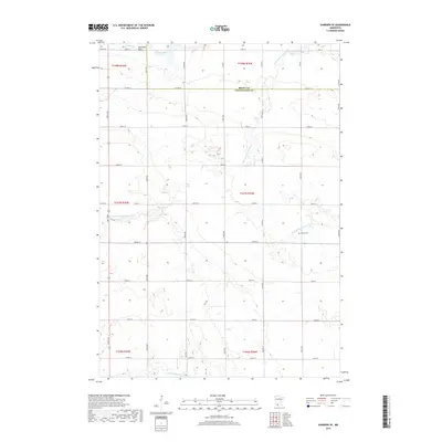
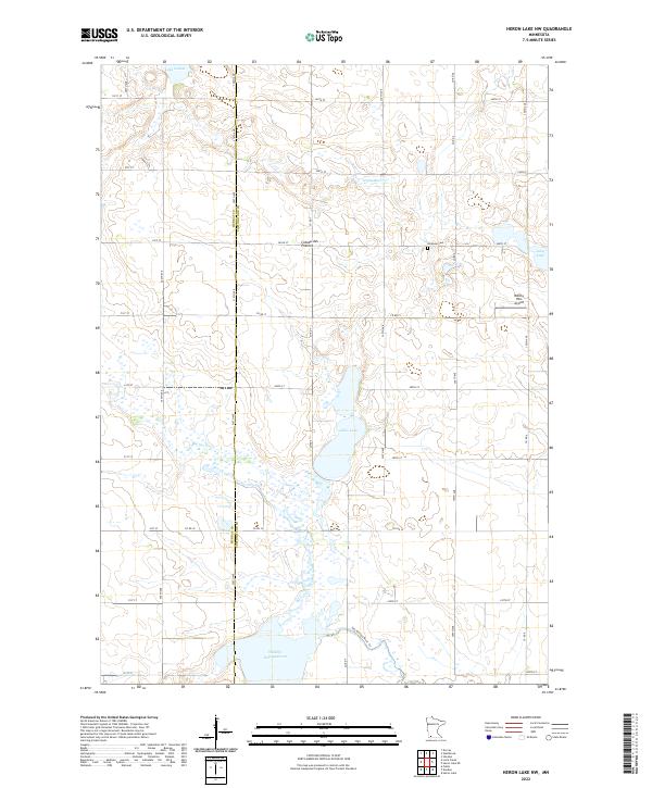
1970 Heron Lake NW
Cottonwood County, MN
2010 Harder Lake
Cottonwood County, MN
2010 Heron Lake NE
Cottonwood County, MN
2010 Heron Lake NW
Cottonwood County, MN
2010 Sanborn SE
Cottonwood County, MN
2013 Harder Lake
Cottonwood County, MN
2013 Heron Lake NE
Cottonwood County, MN
2013 Heron Lake NW
Cottonwood County, MN
2013 Sanborn SE
Cottonwood County, MN
2016 Harder Lake
Cottonwood County, MN
2016 Heron Lake NE
Cottonwood County, MN
2016 Heron Lake NW
Cottonwood County, MN
2016 Sanborn SE
Cottonwood County, MN
2019 Harder Lake
Cottonwood County, MN
2019 Heron Lake NE
Cottonwood County, MN
2019 Heron Lake NW
Cottonwood County, MN
2019 Sanborn SE
Cottonwood County, MN
2022 Harder Lake
Cottonwood County, MN
2022 Heron Lake NE
Cottonwood County, MN
2022 Heron Lake NW
Cottonwood County, MN
2022 Sanborn SE
Cottonwood County, MN