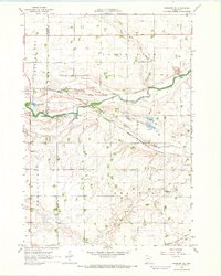
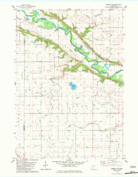
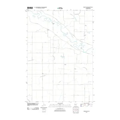
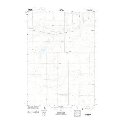
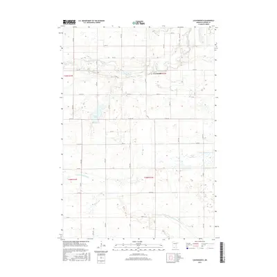
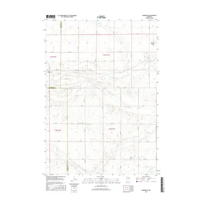
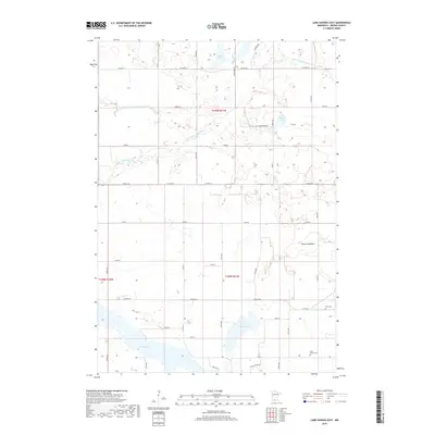
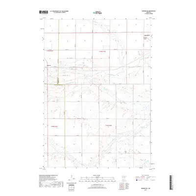
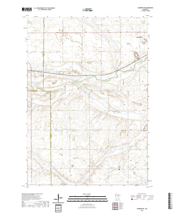
1967 Map of Sanborn NE
USGS Topo · Published 1968About this map
Agricultural lands in the corner of Brown, Redwood, and Cottonwood counties define this landscape, anchored by the village of Sanborn and its connection to the Chicago and North Western railroad. The Cottonwood River meanders across the center of the sheet, joined by smaller tributaries like Coal Creek and the man-made channel of Judicial Ditch No 24. Evidence of local industry and infrastructure is present throughout the rural townships of Charlestown and Staley, with numerous Gravel Pits, a Claypit, and an unspecified Mine dotting the prairie.
Find a feature on this map
21 named features on this map. Tap any name to fly to it.
Don’t see what you’re looking for? This feature index may not catch every label — zoom into the map to look around manually.
Map Details
Editions of this 1967 Sanborn NE Map
This is the sole edition of this map. No revisions or reprints were ever made.
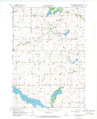
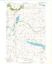
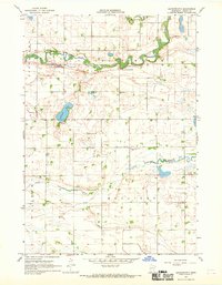
Historical Maps of Springfield Through Time
30 maps found
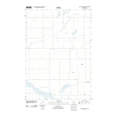
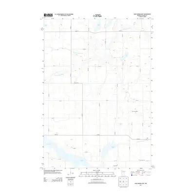
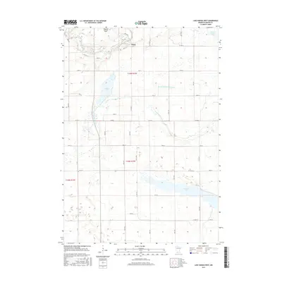
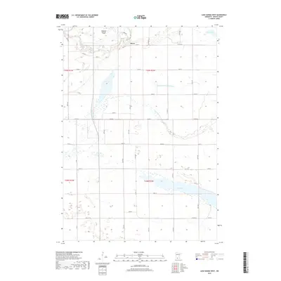
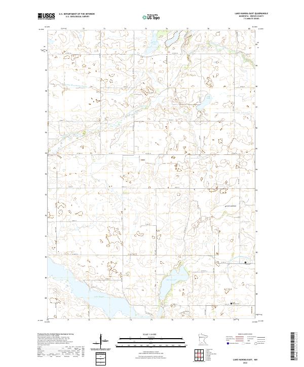
1967 Lake Hanska East
Brown County, MN
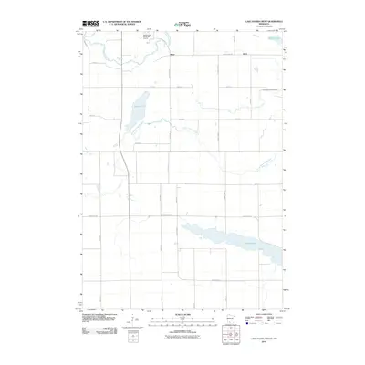
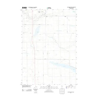
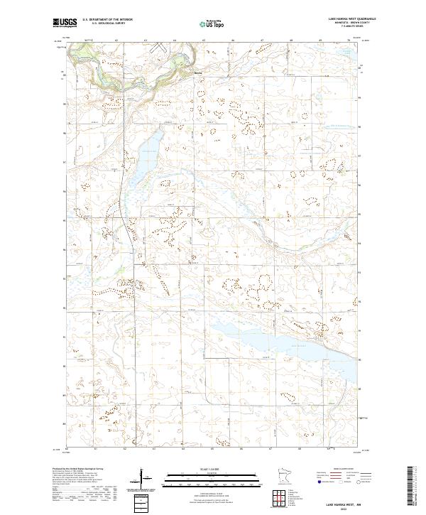
1967 Lake Hanska West
Brown County, MN
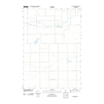
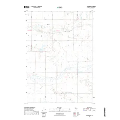
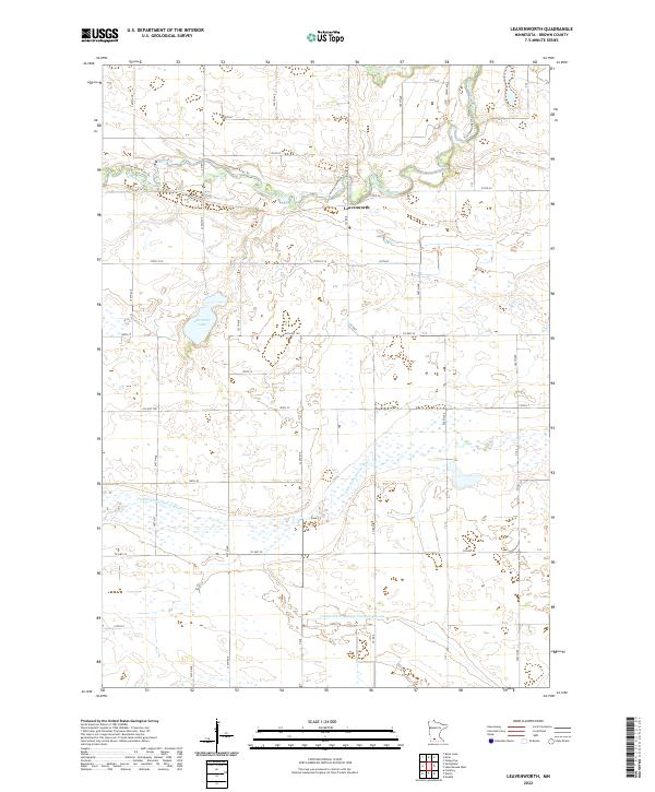
1967 Leavenworth
Brown County, MN
1967 Sanborn NE
Brown County, MN
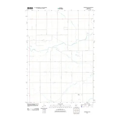
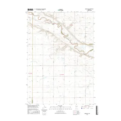
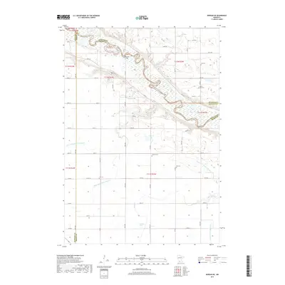
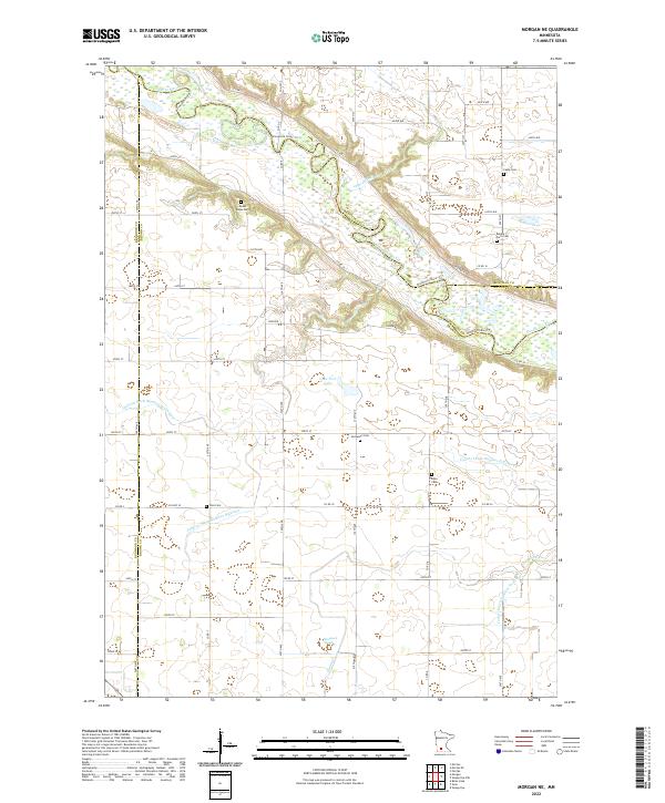
1982 Morgan NE
Brown County, MN
2010 Lake Hanska East
Brown County, MN
2010 Lake Hanska West
Brown County, MN
2010 Leavenworth
Brown County, MN
2010 Morgan NE
Brown County, MN
2010 Sanborn NE
Brown County, MN
2013 Lake Hanska East
Brown County, MN
2013 Lake Hanska West
Brown County, MN
2013 Leavenworth
Brown County, MN
2013 Morgan NE
Brown County, MN
2013 Sanborn NE
Brown County, MN
2016 Lake Hanska East
Brown County, MN
2016 Lake Hanska West
Brown County, MN
2016 Leavenworth
Brown County, MN
2016 Morgan NE
Brown County, MN
2016 Sanborn NE
Brown County, MN
2019 Lake Hanska East
Brown County, MN
2019 Lake Hanska West
Brown County, MN
2019 Leavenworth
Brown County, MN
2019 Morgan NE
Brown County, MN
2019 Sanborn NE
Brown County, MN
2022 Lake Hanska East
Brown County, MN
2022 Lake Hanska West
Brown County, MN
2022 Leavenworth
Brown County, MN
2022 Morgan NE
Brown County, MN
2022 Sanborn NE
Brown County, MN