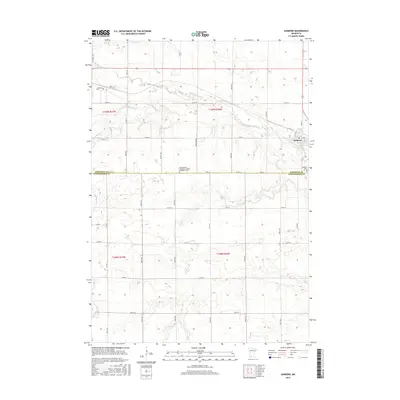
2016 Map of Sanborn
USGS Topo · Published 2016About this map
The Cottonwood River meanders across this prairie landscape, defining the topography near the settlement of Sanborn. This agricultural region at the border of Redwood and Cottonwood Counties is marked by a precise grid of section lines and rural roads, including Co Hwy 12 and Co Rd 15. Local history is anchored by several distinct burial sites, including the Sanborn Cemetery on the eastern edge of town and the Germantown Evangelical United Methodist Cemetery located further west along 100th St. Waterways like Highwater Creek and Dutch Charley Creek feed into the primary river valley, creating the only significant breaks in the geometric farm plots. The map traces the intersection of rail and road infrastructure that supported this small town's development as a regional transit point.
Find a feature on this map
45 named features on this map. Tap any name to fly to it.
Don’t see what you’re looking for? This feature index may not catch every label — zoom into the map to look around manually.
Map Details
Editions of this 2016 Sanborn Map
This is the sole edition of this map. No revisions or reprints were ever made.
Other maps of this area

1953 · New Ulm
USGS Topo · 1:250,000

1957 · New Ulm
USGS Topo · 1:250,000

1958 · New Ulm
USGS Topo · 1:250,000

1967 · New Ulm
USGS Topo · 1:250,000

1967 · Wanda
USGS Topo · 1:24,000

1967 · Sanborn
USGS Topo · 1:24,000

1967 · Wabasso SE
USGS Topo · 1:24,000

1967 · Clements SE
USGS Topo · 1:24,000

1967 · Sanborn SE
USGS Topo · 1:24,000

1967 · Sanborn NE
USGS Topo · 1:24,000