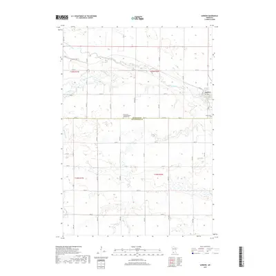
2019 Map of Sanborn
USGS Topo · Published 2019About this map
The Cottonwood River meanders across the northern portion of this landscape, carving a distinct valley through the agricultural plains of Redwood and Cottonwood Counties. The settlement of Sanborn anchors the northeastern corner, established at a critical junction of river geography and early transit routes like W Mill St. This 2019 survey illustrates the persistent rural character of the region, where land is methodically divided by a grid of section roads including Co Rd 15 and 100th St. Local genealogy is well-preserved through several landmarks, most notably the Germantown Evangelical United Methodist Cem and the Sanborn Cem. The hydrology is defined by the drainage systems of Dutch Charley Cr, Highwater Cr, and Dry Cr, which feed into the primary river basin.
Find a feature on this map
27 named features on this map. Tap any name to fly to it.
Don’t see what you’re looking for? This feature index may not catch every label — zoom into the map to look around manually.
Map Details
Editions of this 2019 Sanborn Map
This is the sole edition of this map. No revisions or reprints were ever made.
Other maps of this area

1953 · New Ulm
USGS Topo · 1:250,000

1957 · New Ulm
USGS Topo · 1:250,000

1958 · New Ulm
USGS Topo · 1:250,000

1967 · New Ulm
USGS Topo · 1:250,000

1967 · Wanda
USGS Topo · 1:24,000

1967 · Sanborn
USGS Topo · 1:24,000

1967 · Wabasso SE
USGS Topo · 1:24,000

1967 · Clements SE
USGS Topo · 1:24,000

1967 · Sanborn SE
USGS Topo · 1:24,000

1967 · Sanborn NE
USGS Topo · 1:24,000