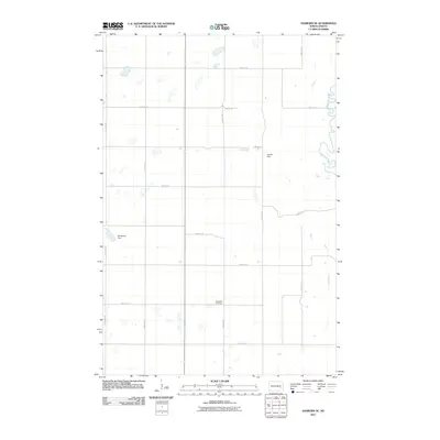
2011 Map of Sanborn SE
USGS Topo · Published 2011About this map
Sheyenne River meanders through the eastern section of this North Dakota landscape, carving a distinct valley through the grid-patterned farmland of Barnes County. The terrain is defined by a systematic network of section-line roads, including 114th Ave SE and 40th St SE, which facilitate access to the surrounding agricultural tracts. Local history and genealogy are anchored by the Ringsaker Cemetery, a key landmark situated along 44th St SE in the southern portion of the quadrangle. Water management is a primary feature of the local topography, evidenced by the presence of small impoundments such as Hansen Dam and Berckerley Dam, which dot the prairie landscape and suggest the area's reliance on managed water resources for agricultural or conservation purposes.
Find a feature on this map
17 named features on this map. Tap any name to fly to it.
Don’t see what you’re looking for? This feature index may not catch every label — zoom into the map to look around manually.
Map Details
Editions of this 2011 Sanborn SE Map
This is the sole edition of this map. No revisions or reprints were ever made.
Other maps of this area

1897 · Tower
USGS Topo · 1:125,000

1897 · Eckelson
USGS Topo · 1:125,000

1953 · Jamestown
USGS Topo · 1:250,000

1953 · Fargo
USGS Topo · 1:250,000

1956 · Fargo
USGS Topo · 1:250,000

1956 · Jamestown
USGS Topo · 1:250,000

1961 · Valley City East
USGS Topo · 1:24,000

1961 · Valley City West
USGS Topo · 1:24,000

1967 · Fingal SW
USGS Topo · 1:24,000
1967 · Kathryn
USGS Topo · 1:24,000