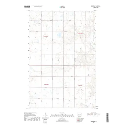
2020 Map of Sanborn SE
USGS Topo · Published 2020About this map
The Sheyenne River cuts through the southeastern corner of this Barnes County landscape, defining the local topography as the land slopes toward the river valley. In the central part of the quadrangle, Ringsaker Cem remains a significant marker of early settlement and genealogy, located along 44th St SE. The map illustrates a largely rural agricultural area, organized by the Public Land Survey System into townships including t139n r59w, t139n r58w, t138n r59w, and t138n r58w. Modern recreation and conservation are evident through the passage of the N Country National Scenic Trail, which meanders through the eastern sections, providing a corridor for exploration through the prairie and river-adjacent terrain.
Find a feature on this map
7 named features on this map. Tap any name to fly to it.
Don’t see what you’re looking for? This feature index may not catch every label — zoom into the map to look around manually.
Map Details
Editions of this 2020 Sanborn SE Map
This is the sole edition of this map. No revisions or reprints were ever made.
Other maps of this area

1897 · Tower
USGS Topo · 1:125,000

1897 · Eckelson
USGS Topo · 1:125,000

1953 · Jamestown
USGS Topo · 1:250,000

1953 · Fargo
USGS Topo · 1:250,000

1956 · Fargo
USGS Topo · 1:250,000

1956 · Jamestown
USGS Topo · 1:250,000

1961 · Valley City East
USGS Topo · 1:24,000

1961 · Valley City West
USGS Topo · 1:24,000

1967 · Fingal SW
USGS Topo · 1:24,000
1967 · Kathryn
USGS Topo · 1:24,000