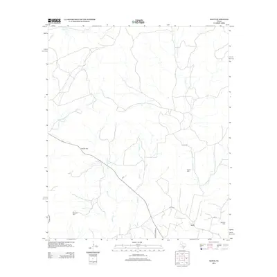
2012 Map of Sanco
USGS Topo · Published 2012About this map
Sanco serves as the focal point for this rural West Texas landscape, situated in an area defined by rugged topographic relief and a network of seasonal watercourses. The terrain is punctuated by significant elevations including Durham Peak, Horse Mtn, and Meadow Mtn, which overlook a complex drainage system. Water flows through numerous creeks such as Yellow Wolf Cr, Rough Cr, and Willmo Sand Cr, shaping the character of the ranching and agricultural lands.
Find a feature on this map
16 named features on this map. Tap any name to fly to it.
Don’t see what you’re looking for? This feature index may not catch every label — zoom into the map to look around manually.
Map Details
Editions of this 2012 Sanco Map
This is the sole edition of this map. No revisions or reprints were ever made.
Other maps of this area

1891 · Hayrick
USGS Topo · 1:125,000

1893 · Sweetwater
USGS Topo · 1:125,000

1894 · Hayrick
USGS Topo · 1:125,000

1954 · Big Spring
USGS Topo · 1:250,000

1954 · San Angelo
USGS Topo · 1:250,000

1958 · San Angelo
USGS Topo · 1:250,000

1958 · Big Spring
USGS Topo · 1:250,000

1959 · Dam Draw
USGS Topo · 1:24,000

1959 · Silver
USGS Topo · 1:24,000

1962 · Edith
USGS Topo · 1:24,000