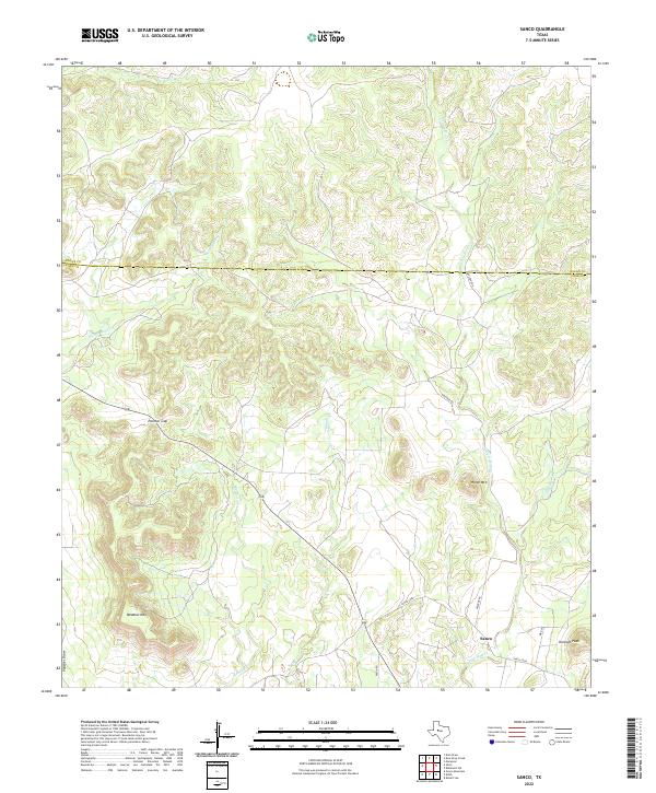
2022 Map of Sanco
USGS Topo · Published 2022About this map
Sanco serves as the primary focal point of this western Texas survey, situated near the confluence of several intermittent watercourses. The landscape is defined by its dramatic relief and drainage patterns, particularly where Yellow Wolf Cr and Meadow Cr cut through the high ground. Notable summits such as Durham Peak, Meadow Mtn, and Horse Mtn provide significant verticality to the terrain, while the distinctive Panther Gap offers a natural passage through the elevated ridges.
Find a feature on this map
17 named features on this map. Tap any name to fly to it.
Don’t see what you’re looking for? This feature index may not catch every label — zoom into the map to look around manually.
Map Details
Editions of this 2022 Sanco Map
This is the sole edition of this map. No revisions or reprints were ever made.
Other maps of this area

1891 · Hayrick
USGS Topo · 1:125,000

1893 · Sweetwater
USGS Topo · 1:125,000

1894 · Hayrick
USGS Topo · 1:125,000

1954 · Big Spring
USGS Topo · 1:250,000

1954 · San Angelo
USGS Topo · 1:250,000

1958 · San Angelo
USGS Topo · 1:250,000

1958 · Big Spring
USGS Topo · 1:250,000

1959 · Dam Draw
USGS Topo · 1:24,000

1959 · Silver
USGS Topo · 1:24,000

1962 · Edith
USGS Topo · 1:24,000