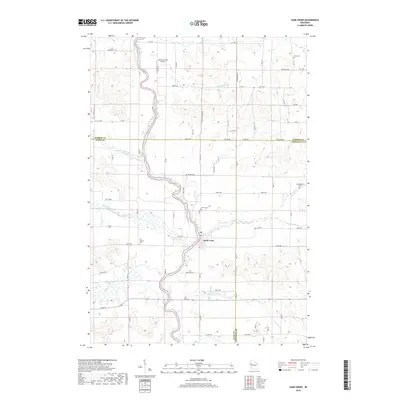
2018 Map of Sand Creek
USGS Topo · Published 2018About this map
The Red Cedar River carves a winding path through the heart of this landscape where the borders of Barron, Dunn, and Chippewa Counties meet. The unincorporated community of Sand Creek serves as a central hub, situated near the confluence of Sand Cr and the river. This area is characterized by its rural infrastructure, featuring a dense network of country roads such as 1450th Ave and Co Hwy I that connect family farms and local landmarks.
Find a feature on this map
75 named features on this map. Tap any name to fly to it.
Don’t see what you’re looking for? This feature index may not catch every label — zoom into the map to look around manually.
Map Details
Editions of this 2018 Sand Creek Map
This is the sole edition of this map. No revisions or reprints were ever made.
Other maps of this area

1949 · New Auburn
USGS Topo · 1:62,500

1949 · Ridgeland
USGS Topo · 1:62,500

1951 · Ridgeland
USGS Topo · 1:62,500

1951 · New Auburn
USGS Topo · 1:62,500

1951 · Chetek
USGS Topo · 1:62,500

1951 · Barron
USGS Topo · 1:62,500

1953 · Rice Lake
USGS Topo · 1:250,000

1959 · Rice Lake
USGS Topo · 1:250,000
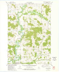
1975 · Colfax North
USGS Topo · 1:24,000
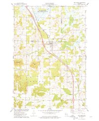
1975 · New Auburn
USGS Topo · 1:24,000