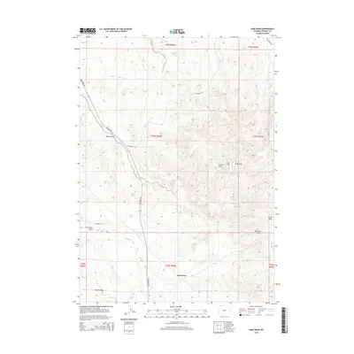
2015 Map of Sand Draw
USGS Topo · Published 2015About this map
Sand Draw serves as the focal point for this 2015 study of Fremont County, Wyoming, where the high desert terrain is defined by a complex network of intermittent watercourses. The landscape is carved by numerous drainages, including Bobcat Draw, Carter Draw, and Kirby Draw, which converge toward the central valley. Significant elevation changes are marked by McTurk Ridge and the prominent Oil Mtn, reflecting the geological character of the region.
Find a feature on this map
20 named features on this map. Tap any name to fly to it.
Don’t see what you’re looking for? This feature index may not catch every label — zoom into the map to look around manually.
Map Details
Editions of this 2015 Sand Draw Map
This is the sole edition of this map. No revisions or reprints were ever made.
Other maps of this area

1953 · Blue Gulch
USGS Topo · 1:24,000

1953 · Arapahoe NE
USGS Topo · 1:24,000

1953 · Bringolf Ranch
USGS Topo · 1:24,000

1953 · Elkhorn Springs
USGS Topo · 1:24,000

1953 · Campbell Ridge
USGS Topo · 1:24,000

1953 · Sand Draw
USGS Topo · 1:24,000

1953 · Dishpan Butte
USGS Topo · 1:24,000

1953 · Yellowstone Ranch
USGS Topo · 1:24,000

1955 · Lander
USGS Topo · 1:250,000

1958 · Lander
USGS Topo · 1:250,000