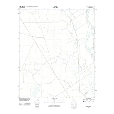
2010 Map of Sand Lake
USGS Topo · Published 2010About this map
Pecos River meanders across the eastern portion of this West Texas landscape, defining the local hydrology in Reeves County. The terrain is characterized by a network of rural routes, including N Roberson Rd and Lara Rd, which connect the scattered agricultural and ranching parcels. A notable site for local genealogy is the Lara Cemetery, situated near the center of the quadrangle. To the southwest, the eponymous Sand Lake provides a significant seasonal catchment in an otherwise arid environment. This 2010 survey by the U. S. Geological Survey details a landscape where water features and family-named roads like Co Rd 427 dictate the settlement patterns and infrastructure of the region.
Find a feature on this map
8 named features on this map. Tap any name to fly to it.
Don’t see what you’re looking for? This feature index may not catch every label — zoom into the map to look around manually.
Map Details
Editions of this 2010 Sand Lake Map
This is the sole edition of this map. No revisions or reprints were ever made.
Other maps of this area

1921 · Toyah
USGS Topo · 1:125,000

1931 · Barstow
USGS Topo · 1:125,000

1954 · Pecos
USGS Topo · 1:250,000

1957 · Pecos
USGS Topo · 1:250,000

1961 · Soda Lake
USGS Topo · 1:24,000

1961 · Mentone
USGS Topo · 1:24,000

1961 · Anderson Ranch
USGS Topo · 1:24,000

1961 · Sand Lake
USGS Topo · 1:24,000

1963 · Pecos East
USGS Topo · 1:24,000

1967 · Soda Lake NW
USGS Topo · 1:24,000