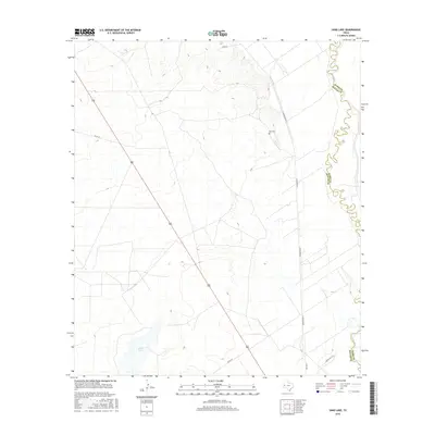
2016 Map of Sand Lake
USGS Topo · Published 2016About this map
The winding course of the Pecos River forms the eastern boundary of this West Texas landscape, where the border between Reeves and Ward counties follows the river's serpentine meanders. The terrain is defined by the arid basin of Sand Lake and a series of rural routes that facilitate movement through this sparsely populated ranching country. Evidence of local heritage is centered near the intersection of Lara Rd and N Roberson Rd, where the small Lara Cem serves as a significant genealogical landmark for the region. Modern infrastructure, including Ranch Rd 1216 and various county roads like Co Rd 424, provides the framework for navigating the low-lying wetlands and dry washes that characterize this part of the Chihuahuan Desert.
Find a feature on this map
10 named features on this map. Tap any name to fly to it.
Don’t see what you’re looking for? This feature index may not catch every label — zoom into the map to look around manually.
Map Details
Editions of this 2016 Sand Lake Map
This is the sole edition of this map. No revisions or reprints were ever made.
Other maps of this area

1921 · Toyah
USGS Topo · 1:125,000

1931 · Barstow
USGS Topo · 1:125,000

1954 · Pecos
USGS Topo · 1:250,000

1957 · Pecos
USGS Topo · 1:250,000

1961 · Soda Lake
USGS Topo · 1:24,000

1961 · Mentone
USGS Topo · 1:24,000

1961 · Anderson Ranch
USGS Topo · 1:24,000

1961 · Sand Lake
USGS Topo · 1:24,000

1963 · Pecos East
USGS Topo · 1:24,000

1967 · Soda Lake NW
USGS Topo · 1:24,000