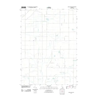
2011 Map of Sand Lake SW
USGS Topo · Published 2011About this map
The Rogue River meanders through this portion of Newaygo County, anchoring a landscape defined by glacial kettle lakes and small agricultural tracts in the early 21st century. The tiny settlement of Sun sits at the intersection of Ironwood Ave and E 128th St, representing the rural residential character of this region. To the east and south, a cluster of named water bodies includes Baldwin Lake, South Lake, and the interestingly named Cook and White Lake, suggesting localized family histories tied to the shoreline.
Find a feature on this map
58 named features on this map. Tap any name to fly to it.
Don’t see what you’re looking for? This feature index may not catch every label — zoom into the map to look around manually.
Map Details
Editions of this 2011 Sand Lake SW Map
This is the sole edition of this map. No revisions or reprints were ever made.
Other maps of this area

1918 · Cedar Springs
USGS Topo · 1:62,500

1943 · Cedar Springs
USGS Topo · 1:62,500

1945 · Ravenna
USGS Topo · 1:62,500

1954 · Midland
USGS Topo · 1:250,000

1958 · Midland
USGS Topo · 1:250,000

1958 · Sand Lake
USGS Topo · 1:62,500

1958 · Fremont
USGS Topo · 1:62,500

1959 · Midland
USGS Topo · 1:250,000

1966 · Midland
USGS Topo · 1:250,000

1967 · Sparta
USGS Topo · 1:24,000