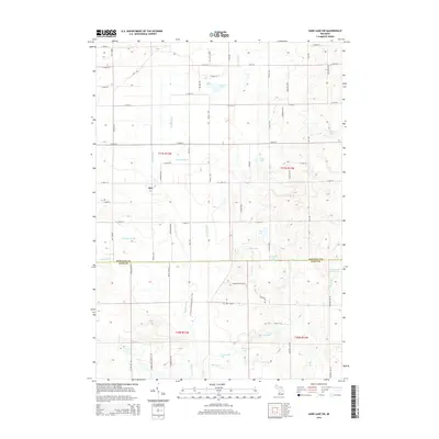
2014 Map of Sand Lake SW
USGS Topo · Published 2014About this map
The Rogue River dominates this landscape as it flows south through the boundary between Newaygo and Kent counties. This 2014 survey documents a glacial terrain dense with kettle lakes and wetlands, including Ransom Lake, Baldwin Lake, and the connected waters of South Lake and Frey Lake. A notable segment of the N Country National Scenic Trail winds through the river valley, passing the small settlement of Sun. Numerous drainage systems, such as Costen Drain and Hilbrand Drain, illustrate the local agricultural and water management history of the region. The map also records family-named water bodies like Chrishaven Lake and Cook and White Lake, providing a clear picture of local landownership and recreational geography in this part of Michigan.
Find a feature on this map
65 named features on this map. Tap any name to fly to it.
Don’t see what you’re looking for? This feature index may not catch every label — zoom into the map to look around manually.
Map Details
Editions of this 2014 Sand Lake SW Map
This is the sole edition of this map. No revisions or reprints were ever made.
Other maps of this area

1918 · Cedar Springs
USGS Topo · 1:62,500

1943 · Cedar Springs
USGS Topo · 1:62,500

1945 · Ravenna
USGS Topo · 1:62,500

1954 · Midland
USGS Topo · 1:250,000

1958 · Midland
USGS Topo · 1:250,000

1958 · Sand Lake
USGS Topo · 1:62,500

1958 · Fremont
USGS Topo · 1:62,500

1959 · Midland
USGS Topo · 1:250,000

1966 · Midland
USGS Topo · 1:250,000

1967 · Sparta
USGS Topo · 1:24,000