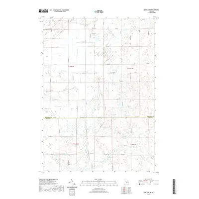
2019 Map of Sand Lake SW
USGS Topo · Published 2019About this map
The Rogue River meanders south through this corner of Newaygo and Kent counties, defining a landscape shaped by a complex network of wetlands and drainage systems. Artificial waterways like Veenboer Drain, Plaiser Drain, and Geers Drain demonstrate the region's managed hydrology, which supports the surrounding rural acreage. To the east, a cluster of glacial lakes including Moore Lake, Frey Lake, and Baldwin Lake dot the terrain, while the residential development at Chrishaven Lake provides a modern settlement anchor in the southern sections. This area is also a corridor for outdoor recreation, as the North Country National Scenic Trail winds through the river valley. The topography is largely gentle, punctuated by prominent features such as Prenton Ridge in the southeast corner near Spring Cr.
Find a feature on this map
81 named features on this map. Tap any name to fly to it.
Don’t see what you’re looking for? This feature index may not catch every label — zoom into the map to look around manually.
Map Details
Editions of this 2019 Sand Lake SW Map
This is the sole edition of this map. No revisions or reprints were ever made.
Other maps of this area

1918 · Cedar Springs
USGS Topo · 1:62,500

1943 · Cedar Springs
USGS Topo · 1:62,500

1945 · Ravenna
USGS Topo · 1:62,500

1954 · Midland
USGS Topo · 1:250,000

1958 · Midland
USGS Topo · 1:250,000

1958 · Sand Lake
USGS Topo · 1:62,500

1958 · Fremont
USGS Topo · 1:62,500

1959 · Midland
USGS Topo · 1:250,000

1966 · Midland
USGS Topo · 1:250,000

1967 · Sparta
USGS Topo · 1:24,000