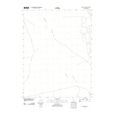
2011 Map of Sand Pass NE
USGS Topo · Published 2011About this map
Fish Springs Flat dominates this 2011 survey, illustrating a vast desert landscape where water is the primary architect of the terrain. The map follows the drainage patterns of Fish Springs Wash as it moves across the dry basin, eventually joined in the south by Swasey Knolls Wash. These ephemeral watercourses define the geography of this part of Juab County, revealing how seasonal runoff carves the land in an environment otherwise characterized by extreme aridity. Human presence is sparse, limited primarily to the track of Sand Pass Rd, which provides the only major navigational corridor through this remote basin. The lack of permanent structures or developed settlements highlights the isolation of this corner of the Great Basin, making it a clear reference for understanding the physical geography and road networks of western Utah at the start of the 21st century.
Find a feature on this map
4 named features on this map. Tap any name to fly to it.
Don’t see what you’re looking for? This feature index may not catch every label — zoom into the map to look around manually.
Map Details
Editions of this 2011 Sand Pass NE Map
This is the sole edition of this map. No revisions or reprints were ever made.
Other maps of this area

1908 · Fish Springs
USGS Topo · 1:250,000

1910 · Fish Springs
USGS Topo · 1:250,000

1953 · Dugway Range
USGS Topo · 1:62,500

1953 · Topaz Mtn
USGS Topo · 1:62,500

1953 · Delta
USGS Topo · 1:250,000

1958 · Delta
USGS Topo · 1:250,000

1962 · Delta
USGS Topo · 1:250,000

1967 · Sand Pass
USGS Topo · 1:24,000

1967 · Sand Pass NW
USGS Topo · 1:24,000

1967 · Sand Pass SE
USGS Topo · 1:24,000