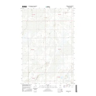
2016 Map of Sanders Lake
USGS Topo · Published 2016About this map
The Mississippi River winds through the southeastern corner of this Aitkin County landscape, where it meets a complex network of wetlands and smaller waterways. Centered on the meandering path of the Willow River, the terrain is defined by its low-lying hydrology, with Sanders Lake situated just north of the major river junction.
Find a feature on this map
25 named features on this map. Tap any name to fly to it.
Don’t see what you’re looking for? This feature index may not catch every label — zoom into the map to look around manually.
Map Details
Editions of this 2016 Sanders Lake Map
This is the sole edition of this map. No revisions or reprints were ever made.
Other maps of this area

1914 · Aitkin
USGS Topo · 1:62,500

1915 · Aitkin
USGS Topo · 1:62,500

1953 · Duluth
USGS Topo · 1:250,000

1958 · Duluth
USGS Topo · 1:250,000

1970 · Rabey
USGS Topo · 1:24,000

1970 · Palisade
USGS Topo · 1:24,000

1970 · Sanders Lake
USGS Topo · 1:24,000
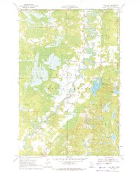
1970 · Ball Bluff
USGS Topo · 1:24,000

1970 · Libby
USGS Topo · 1:24,000
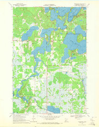
1970 · Minnewawa
USGS Topo · 1:24,000