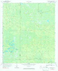
1969 Map of Sanderson NW
USGS Topo · Published 1984About this map
Osceola National Forest dominates this northern Florida landscape, characterized by an intricate network of wetlands and wooded rises. The terrain is defined by the vast Pinhook Swamp and Impassable Bay, where slightly higher elevations like Noah Island, Negro Camp Island, and Clay Hole Island provide distinct landmarks within the saturated environment. This 1969 field-checked survey highlights the region's managed timber and water resources, evidenced by a grid of firebreaks and the Base Line survey marker cutting across the center of the quadrangle.
Find a feature on this map
19 named features on this map. Tap any name to fly to it.
Don’t see what you’re looking for? This feature index may not catch every label — zoom into the map to look around manually.
Map Details
Editions of this 1969 Sanderson NW Map
3 editions found
Other maps of this area

1954 · Valdosta
USGS Topo · 1:250,000

1955 · Council
USGS Topo · 1:24,000

1956 · Eddy
USGS Topo · 1:24,000

1956 · Sargent
USGS Topo · 1:24,000

1958 · Valdosta
USGS Topo · 1:250,000

1959 · Valdosta
USGS Topo · 1:250,000

1961 · Deep Creek
USGS Topo · 1:24,000

1967 · Sargent
USGS Topo · 1:24,000
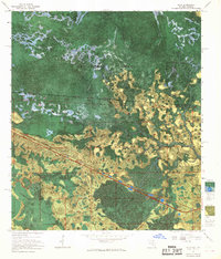
1967 · Eddy
USGS Topo · 1:24,000

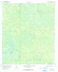
1969 · Sanderson NW
USGS Topo · 1:24,000