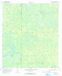
1969 Map of Sanderson Nw
USGS Topo · Published 1990About this map
The vast wetlands of the Osceola National Forest dominate this landscape on the border of Baker and Columbia Counties. During this mid-century period, the area remained a complex network of named swamps and "bays," including the formidable Impassable Bay and the sprawling Pinhook Swamp. The presence of Reddish Millsite in the northern portion of the quadrangle suggests the historical importance of the timber and milling industry in navigating these difficult Florida lowlands. Navigability and access are further defined by the Middle Prong St Marys River and isolated high ground such as Negro Camp Island and Clay Hole Island, which served as distinct landmarks within the saturated terrain. A primitive road network, including the Seventeenmile Camp Road, provided the only passage through this wilderness of pine and water.
Find a feature on this map
20 named features on this map. Tap any name to fly to it.
Don’t see what you’re looking for? This feature index may not catch every label — zoom into the map to look around manually.
Map Details
Editions of this 1969 Sanderson Nw Map
3 editions found
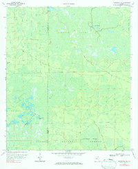
Other maps of this area

1954 · Valdosta
USGS Topo · 1:250,000

1955 · Council
USGS Topo · 1:24,000

1956 · Eddy
USGS Topo · 1:24,000

1956 · Sargent
USGS Topo · 1:24,000

1958 · Valdosta
USGS Topo · 1:250,000

1959 · Valdosta
USGS Topo · 1:250,000

1961 · Deep Creek
USGS Topo · 1:24,000

1967 · Sargent
USGS Topo · 1:24,000
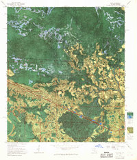
1967 · Eddy
USGS Topo · 1:24,000

1969 · Sanderson NW
USGS Topo · 1:24,000