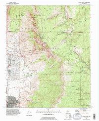
1990 Map of Sandia Crest
USGS Topo · Published 1996About this map
Sandia Mountain dominates this landscape, rising sharply above the northeastern reaches of Albuquerque. The map highlights the intersection of recreation and utility along the ridge, where the Aerial Tramway terminates near the Sandia Crest Electronic Site and several Communication Towers. This high-altitude corridor serves as a hub for both the Sandia Peak Ski Area and the Cibola National Forest, connected by a network of paths such as the La Luz Trail and Osha Loop Trail.
Find a feature on this map
71 named features on this map. Tap any name to fly to it.
Don’t see what you’re looking for? This feature index may not catch every label — zoom into the map to look around manually.
Map Details
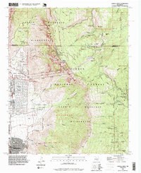
Editions of this 1990 Sandia Crest Map
2 editions found
Other maps of this area

1888 · Bernalillo
USGS Topo · 1:125,000

1889 · Albuquerque
USGS Topo · 1:125,000

1892 · San Pedro
USGS Topo · 1:125,000

1893 · Albuquerque
USGS Topo · 1:125,000

1934 · Alameda
USGS Topo · 1:24,000

1934 · East Albuquerque
USGS Topo · 1:24,000

1938 · Albuquerque
USGS Topo · 1:62,500

1954 · Sandia Crest
USGS Topo · 1:24,000

1954 · Alameda
USGS Topo · 1:24,000

1954 · Placitas
USGS Topo · 1:24,000
Featured Places
- Albuquerque, NM
- Cedar Crest, NM
- Evergreen Hills Subdivision, NM
- Cooper LS Ranch, NM
- Glenwood Hills, Albuquerque