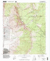
1990 Map of Sandia Crest
USGS Topo · Published 1996About this map
Sandia Mountain dominates the landscape of this 1990 revision, where the urban edge of Albuquerque meets the rising slopes of the Cibola National Forest. The map documents a complex mountain landscape defined by recreation and communication infrastructure, from the Sandia Peak Ski Area and various Ski Lifts to the cluster of Communication Towers at Sandia Crest. Historic structures like the Juan Tabo Cabin and Kiwanis Cabin are noted alongside more modern developments like Sandia Heights and the Environmental Education Center at the southern edge of the quadrangle.
Find a feature on this map
79 named features on this map. Tap any name to fly to it.
Don’t see what you’re looking for? This feature index may not catch every label — zoom into the map to look around manually.
Map Details
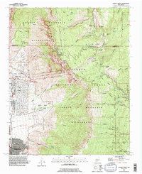
Editions of this 1990 Sandia Crest Map
2 editions found
Other maps of this area

1888 · Bernalillo
USGS Topo · 1:125,000

1889 · Albuquerque
USGS Topo · 1:125,000

1892 · San Pedro
USGS Topo · 1:125,000

1893 · Albuquerque
USGS Topo · 1:125,000

1934 · Alameda
USGS Topo · 1:24,000

1934 · East Albuquerque
USGS Topo · 1:24,000

1938 · Albuquerque
USGS Topo · 1:62,500

1954 · Sandia Crest
USGS Topo · 1:24,000

1954 · Alameda
USGS Topo · 1:24,000

1954 · Placitas
USGS Topo · 1:24,000
Featured Places
- Albuquerque, NM
- Cedar Crest, NM
- Evergreen Hills Subdivision, NM
- Cooper LS Ranch, NM
- Glenwood Hills, Albuquerque