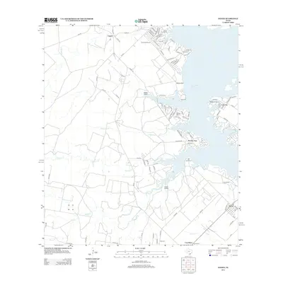
2013 Map of Sandia
USGS Topo · Published 2013About this map
Lake Corpus Christi dominates the eastern edge of this coastal bend landscape, where the waters meet a complex shoreline of inlets and points including Pernitas Point and Mesquite Island. The map documents a transition from the structured residential blocks of Lake City and Sandia to the more dispersed agricultural lands and ranches of the interior. Traces of regional history are evident in the presence of the Old Casa Blanca Fort and the nearby Casa Blanca settlement, alongside the Wade Cem and the Wade Ranch.
Find a feature on this map
100 named features on this map. Tap any name to fly to it.
Don’t see what you’re looking for? This feature index may not catch every label — zoom into the map to look around manually.
Map Details
Editions of this 2013 Sandia Map
This is the sole edition of this map. No revisions or reprints were ever made.
Other maps of this area

1920 · Mikeska
USGS Topo · 1:125,000

1920 · San Diego
USGS Topo · 1:62,500

1925 · Mathis No. 2
USGS Topo · 1:48,000

1925 · Mathis No. 3
USGS Topo · 1:48,000

1927 · Mathis
USGS Topo · 1:62,500

1950 · Corpus Christi
USGS Topo · 1:250,000

1953 · Crystal City
USGS Topo · 1:250,000

1953 · Beeville
USGS Topo · 1:250,000

1954 · Orange Grove
USGS Topo · 1:62,500

1954 · Mathis
USGS Topo · 1:62,500
Featured Places
- Lake City, TX
- Norris Tract Number 2 Colonia, TX
- Wadeside Addition Colonia, TX
- Hodges Addition Colonia, TX
- Casa Blanca, TX