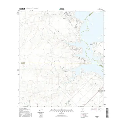
2016 Map of Sandia
USGS Topo · Published 2016About this map
Lake Corpus Christi defines the eastern edge of this coastal bend landscape, where the waters meet the distinctive rise of Millers Bluff. The map captures a transition from the agricultural rangelands of Findly Ranch and K-Bar Ranch to the residential pockets appearing along the shoreline. Communities like Lake City and Sandia anchor the southeastern corner, while smaller developments such as Pernitas Point and Carmel Hills occupy the peninsulas reaching into the reservoir.
Find a feature on this map
103 named features on this map. Tap any name to fly to it.
Don’t see what you’re looking for? This feature index may not catch every label — zoom into the map to look around manually.
Map Details
Editions of this 2016 Sandia Map
This is the sole edition of this map. No revisions or reprints were ever made.
Other maps of this area
1920 · Mikeska
USGS Topo · 1:125,000
1920 · San Diego
USGS Topo · 1:62,500
1925 · Mathis No. 2
USGS Topo · 1:48,000
1925 · Mathis No. 3
USGS Topo · 1:48,000
1927 · Mathis
USGS Topo · 1:62,500
1950 · Corpus Christi
USGS Topo · 1:250,000
1953 · Crystal City
USGS Topo · 1:250,000
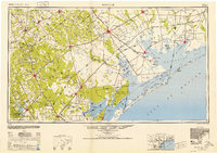
1953 · Beeville
USGS Topo · 1:250,000
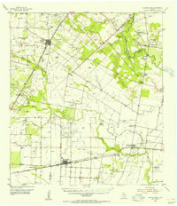
1954 · Orange Grove
USGS Topo · 1:62,500
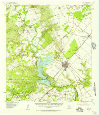
1954 · Mathis
USGS Topo · 1:62,500
Featured Places
- Lake City, TX
- Norris Tract Number 2 Colonia, TX
- Wadeside Addition Colonia, TX
- Hodges Addition Colonia, TX
- Casa Blanca, TX