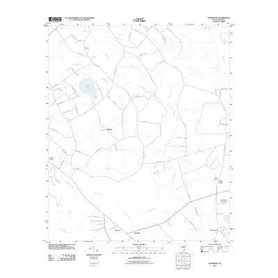
2011 Map of Sandridge
USGS Topo · Published 2011About this map
Ebenezer and Sandridge anchor this portion of the South Carolina lowcountry, where agricultural land meets dense wetlands. The landscape is defined by its drainages, notably Four Hole Swamp and the expansive Dean Swamp to the south, while Sandy Run meanders through the northern reaches. For local history researchers, the map reveals several smaller communities and family-associated landmarks, including Tugtown and Hussertown.
Find a feature on this map
77 named features on this map. Tap any name to fly to it.
Don’t see what you’re looking for? This feature index may not catch every label — zoom into the map to look around manually.
Map Details
Editions of this 2011 Sandridge Map
This is the sole edition of this map. No revisions or reprints were ever made.
Other maps of this area

1919 · Summerville
USGS Topo · 1:48,000

1919 · Ridgeville
USGS Topo · 1:48,000

1920 · Eutawville
USGS Topo · 1:48,000

1920 · Chicora
USGS Topo · 1:48,000

1920 · Ridgeville
USGS Topo · 1:62,500

1920 · Summerville
USGS Topo · 1:62,500

1921 · Chicora
USGS Topo · 1:62,500

1921 · Eutawville
USGS Topo · 1:62,500

1943 · Chicora
USGS Topo · 1:62,500

1943 · Ridgeville
USGS Topo · 1:62,500