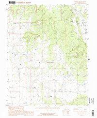
1987 Map of Sandstone Draw
USGS Topo · Published 1987About this map
Mining and petroleum extraction dominate this southeastern Utah landscape during the late 20th century. The Lisbon Oil Field cuts across the eastern half of the map, established alongside a concentration of uranium and vanadium operations including the Homestake Mine, San Juan Shaft Mine, and Little Beaver Mine. These industrial features are set against a backdrop of complex drainage systems and landmarks like Casa Colorado Rock and the high point at White Rock.
Find a feature on this map
18 named features on this map. Tap any name to fly to it.
Don’t see what you’re looking for? This feature index may not catch every label — zoom into the map to look around manually.
Map Details
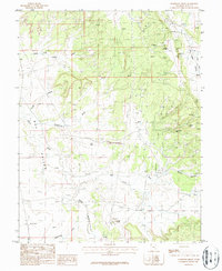
Editions of this 1987 Sandstone Draw Map
2 editions found
Other maps of this area

1885 · La Sal
USGS Topo · 1:250,000

1954 · Mt Peale 3 NW
USGS Topo · 1:24,000

1954 · Mt Peale 4 NW
USGS Topo · 1:24,000

1954 · Mt Peale 3 SW
USGS Topo · 1:24,000

1954 · Mt Peale 3 NE
USGS Topo · 1:24,000

1954 · Mt Peale 3 SE
USGS Topo · 1:24,000

1954 · Mt Peale 1 SW
USGS Topo · 1:24,000

1954 · Mt Peale 2 SW
USGS Topo · 1:24,000

1954 · Mt Peale 2 SE
USGS Topo · 1:24,000

1954 · Mt Peale 4 SW
USGS Topo · 1:24,000