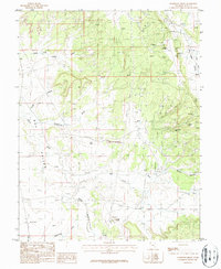
1987 Map of Sandstone Draw
USGS Topo · Published 1987About this map
Uranium and oil extraction define this high-desert landscape in southeastern Utah during the late 1980s. The northeast corner of the map is dense with industrial history, featuring the San Juan Shaft Mine, Homestake Mine, and La Sal No 2 Mine along the slopes above Big Indian Wash. These operations, along with the Small Fry Mine, Standard Mine, and others, highlight a period when the mineral resources of the Colorado Plateau were actively being tapped.
Find a feature on this map
21 named features on this map. Tap any name to fly to it.
Don’t see what you’re looking for? This feature index may not catch every label — zoom into the map to look around manually.
Map Details
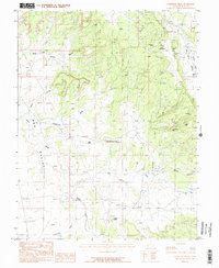
Editions of this 1987 Sandstone Draw Map
2 editions found
Other maps of this area

1885 · La Sal
USGS Topo · 1:250,000

1954 · Mt Peale 3 NW
USGS Topo · 1:24,000

1954 · Mt Peale 4 NW
USGS Topo · 1:24,000

1954 · Mt Peale 3 SW
USGS Topo · 1:24,000

1954 · Mt Peale 3 NE
USGS Topo · 1:24,000

1954 · Mt Peale 3 SE
USGS Topo · 1:24,000

1954 · Mt Peale 1 SW
USGS Topo · 1:24,000

1954 · Mt Peale 2 SW
USGS Topo · 1:24,000

1954 · Mt Peale 2 SE
USGS Topo · 1:24,000

1954 · Mt Peale 4 SW
USGS Topo · 1:24,000