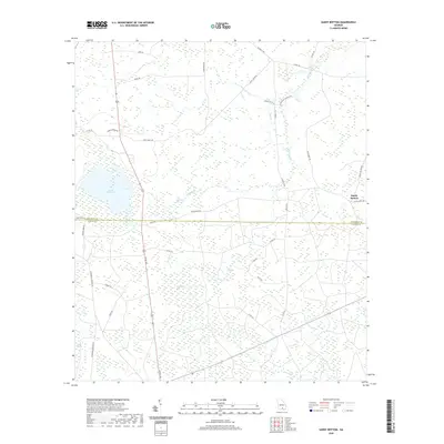
2020 Map of Sandy Bottom
USGS Topo · Published 2020About this map
Sandy Bottom sits at the edge of a landscape defined by expansive wetlands and water management in rural Atkinson and Clinch Counties. The western portion of the sheet is dominated by the large Guest Millpond, while the surrounding terrain is a mosaic of cypress-rich features like Old Ninety Bay, Pee Dee Bay, and Sweetgum Bay. These bay features, characteristic of the Georgia coastal plain, represent elliptical depressions that shape the local drainage and land use patterns.
Find a feature on this map
43 named features on this map. Tap any name to fly to it.
Don’t see what you’re looking for? This feature index may not catch every label — zoom into the map to look around manually.
Map Details
Editions of this 2020 Sandy Bottom Map
This is the sole edition of this map. No revisions or reprints were ever made.
Other maps of this area

1953 · Waycross
USGS Topo · 1:250,000

1958 · Waycross
USGS Topo · 1:250,000

1968 · Homerville East
USGS Topo · 1:24,000

1968 · Cogdell
USGS Topo · 1:24,000

1971 · Axson
USGS Topo · 1:24,000

1971 · Pearson
USGS Topo · 1:24,000

1972 · Kirkland
USGS Topo · 1:24,000

1972 · Sirmans
USGS Topo · 1:24,000

1972 · Sandy Bottom
USGS Topo · 1:24,000

1972 · Henderson Still
USGS Topo · 1:24,000