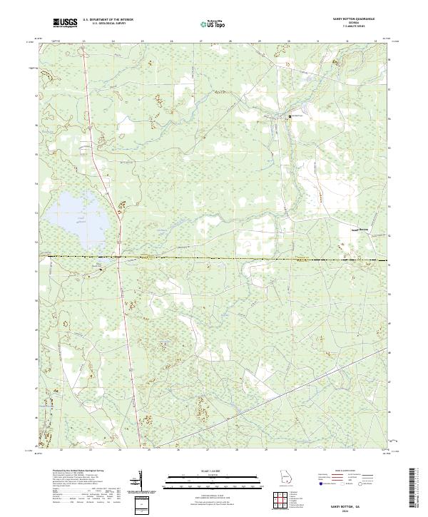
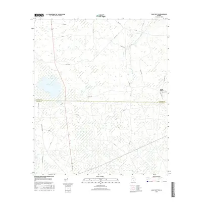
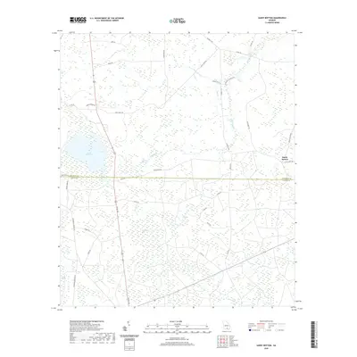
2024 Map of Sandy Bottom
USGS Topo · Published 2024About this map
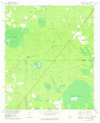
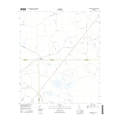
The boundary between Atkinson Co and Clinch Co bisects a landscape defined by expansive wetlands and isolated rural settlements in this 2024 survey. The namesake community of Sandy Bottom sits on the eastern edge of the quadrangle, connected to the interior by a network of local routes like Allen Chapel Rd and Mexico Rd. The terrain is characterized by numerous distinct bays and swamps, including Old Ninety Bay, Hog Bay, and the large Arabia Swamp in the southwest corner, which suggest a complex local hydrology that has historically dictated patterns of land use and transit.
Find a feature on this map
45 named features on this map. Tap any name to fly to it.
Don’t see what you’re looking for? This feature index may not catch every label — zoom into the map to look around manually.
Map Details
Editions of this 2024 Sandy Bottom Map
This is the sole edition of this map. No revisions or reprints were ever made.
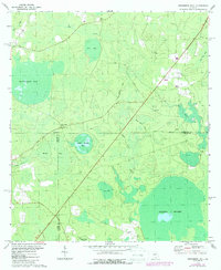
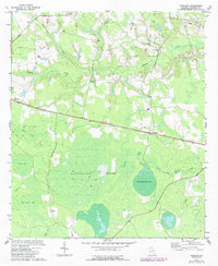
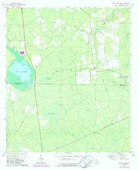
Historical Maps of Sandy Bottom Through Time
19 maps found
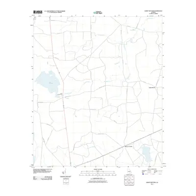
1972 Henderson Still
Atkinson County, GA
1972 Kirkland
Atkinson County, GA
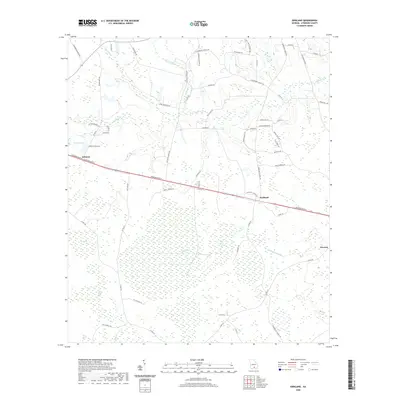
1972 Sandy Bottom
Atkinson County, GA
1978 Henderson Still
Atkinson County, GA
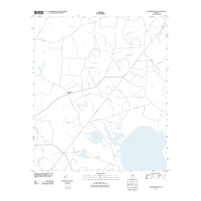
2011 Henderson Still
Atkinson County, GA
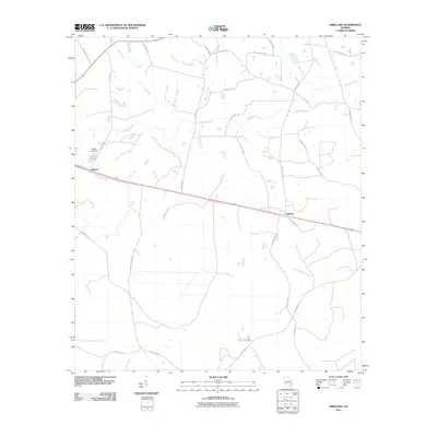
2011 Kirkland
Atkinson County, GA
2011 Sandy Bottom
Atkinson County, GA
2014 Henderson Still
Atkinson County, GA
2014 Kirkland
Atkinson County, GA
2014 Sandy Bottom
Atkinson County, GA
2017 Henderson Still
Atkinson County, GA
2017 Kirkland
Atkinson County, GA
2017 Sandy Bottom
Atkinson County, GA
2020 Henderson Still
Atkinson County, GA
2020 Kirkland
Atkinson County, GA
2020 Sandy Bottom
Atkinson County, GA
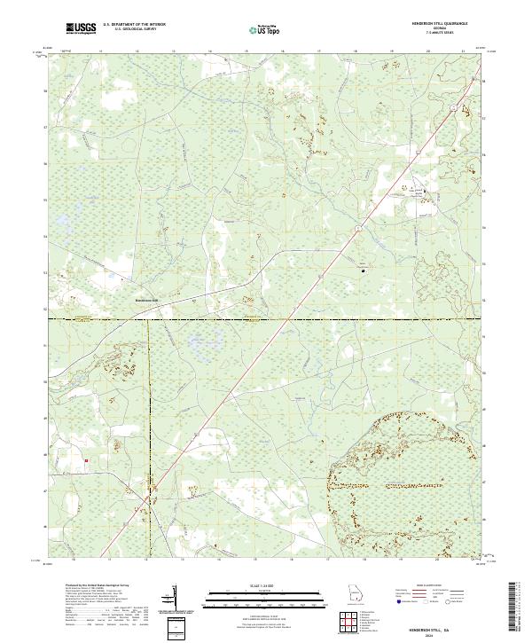
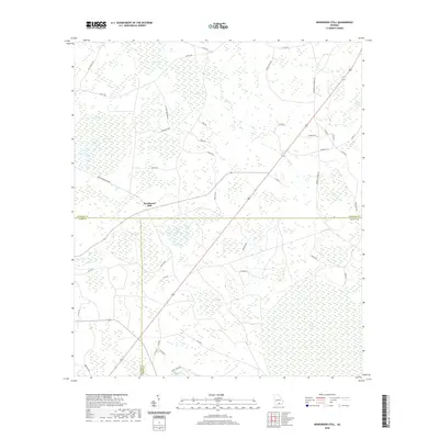
2024 Henderson Still
Atkinson County, GA
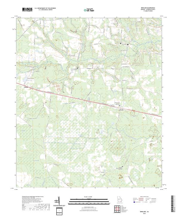
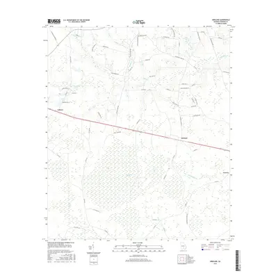
2024 Kirkland
Atkinson County, GA
2024 Sandy Bottom
Atkinson County, GA