Loading...
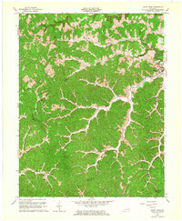
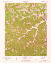
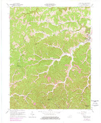
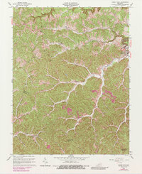
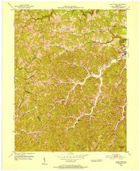
Loading map...1962 Map of Sandy Hook
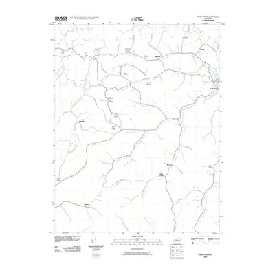
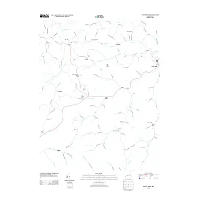
USGS Topo · Published 1964About this map
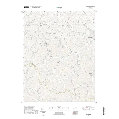
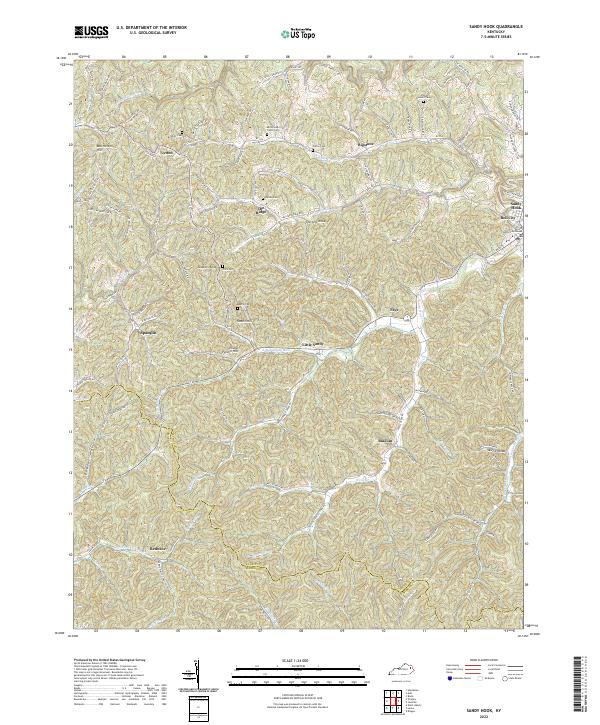
Sandy Hook sits at the convergence of the Little Sandy River and Little Sandy Creek, serving as a central hub in this 1962 landscape. The geography is defined by a dense network of hollows and branches, with many small rural settlements such as Lytten, Bigstone, and Bell City connected by winding ridge and valley roads. The presence of Strip Mine activity and various scattered Mine entries indicates the region's reliance on coal extraction during the mid-20th century.
Find a feature on this map
34 named features on this map. Tap any name to fly to it.
Don’t see what you’re looking for? This feature index may not catch every label — zoom into the map to look around manually.
Map Details
Date Portrayed1962
Date Published1964
PublisherU.S. Geological Survey
Map TypeTopographic
Scale1:24,000
Physical Dimensions22.6 x 27.4 inches
Editions of this 1962 Sandy Hook Map
4 editions found
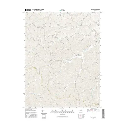
Historical Maps of Sandy Hook Through Time
7 maps found
Featured Locations
Source Details
SourceU.S. Geological Survey
CopyrightPublic Domain