Loading...
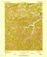
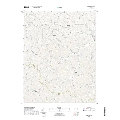
Loading map...1962 Map of Sandy Hook
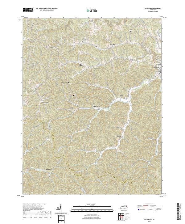
USGS Topo · Published 1978About this map
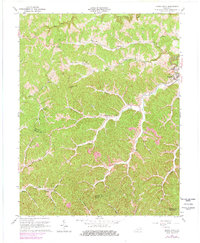
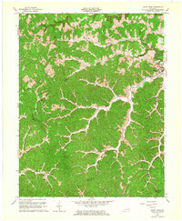
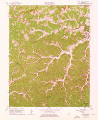
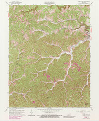
Sandy Hook serves as the focal point of this late-1970s revision, situated where the Little Sandy River meets Doctors Branch. The landscape is defined by its intricate drainage patterns, with numerous small settlements and family-named landmarks spread across the ridges and hollows. Local education and community life are marked by the Carter Sch and Pine Grove Sch, while the economic character of the era is evidenced by a Strip Mine and various smaller mines located in the southern reaches of the quadrangle.
Find a feature on this map
46 named features on this map. Tap any name to fly to it.
Don’t see what you’re looking for? This feature index may not catch every label — zoom into the map to look around manually.
Map Details
Date Portrayed1962
Date Published1978
PublisherU.S. Geological Survey
Map TypeTopographic
Scale1:24,000
Physical Dimensions22.5 x 27.4 inches
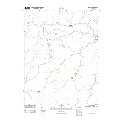
Editions of this 1962 Sandy Hook Map
4 editions found
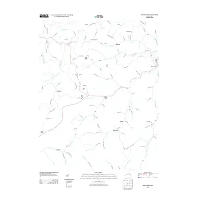
Historical Maps of Sandy Hook Through Time
7 maps found
Featured Locations
Source Details
SourceU.S. Geological Survey
CopyrightPublic Domain