1960 Map of Sandyville
USGS Topo · Published 1963About this map
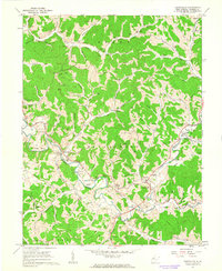
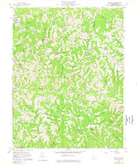
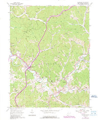
The Baltimore and Ohio railroad corridor follows the winding course of Sandy Creek in this 1960 field-checked survey of Jackson County. This landscape is defined by its intricate drainage patterns, where narrow valleys host settlements like Silverton and Sandyville alongside local landmarks like the Green Hills Country Club. The map reveals a post-war rural infrastructure transitioning toward modern utility, evidenced by a dense network of labeled gas wells and pipelines crossing the hills of Ravenswood and Grant districts.
Find a feature on this map
80 named features on this map. Tap any name to fly to it.
Don’t see what you’re looking for? This feature index may not catch every label — zoom into the map to look around manually.
Map Details
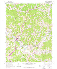
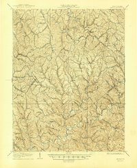
Editions of this 1960 Sandyville Map
3 editions found
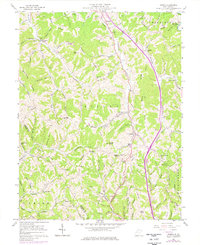
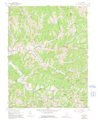
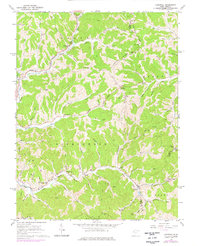
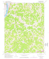
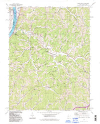
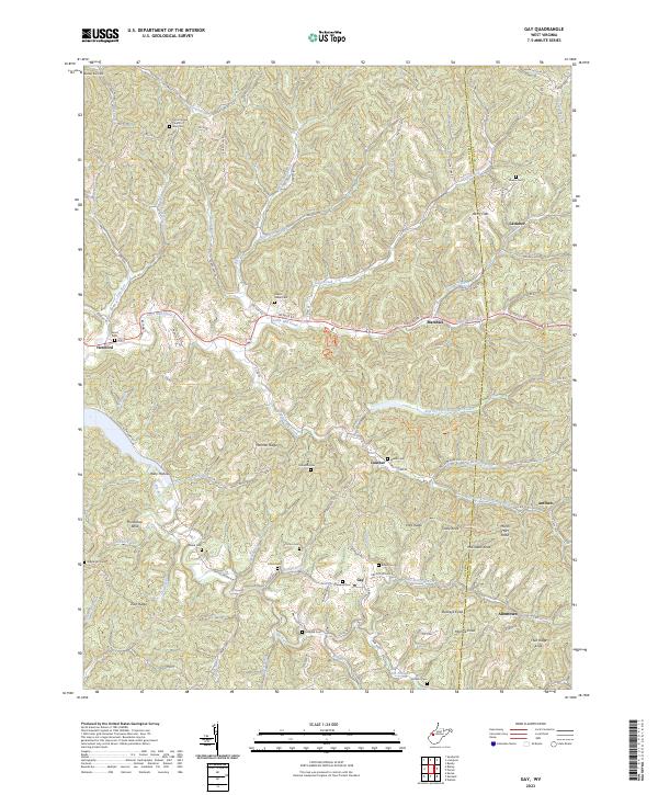
Historical Maps of Ravenswood Through Time
15 maps found

1906 Kenna
Jackson County, WV
1907 Kenna
Jackson County, WV
1957 Kenna
Jackson County, WV
1957 Kentuck
Jackson County, WV
1960 Gay
Jackson County, WV
1960 Liverpool
Jackson County, WV
1960 Pond Creek
Jackson County, WV
1960 Sandyville
Jackson County, WV
1994 Pond Creek
Jackson County, WV
2023 Gay
Jackson County, WV
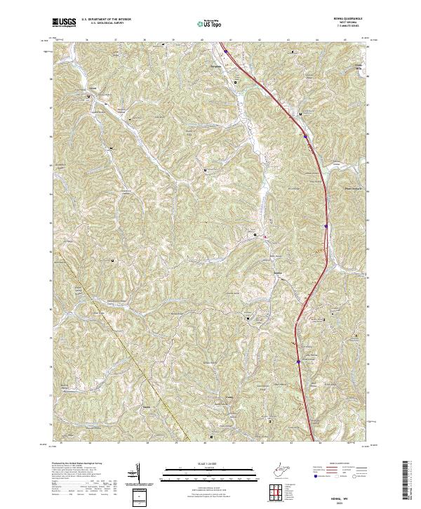
2023 Kenna
Jackson County, WV
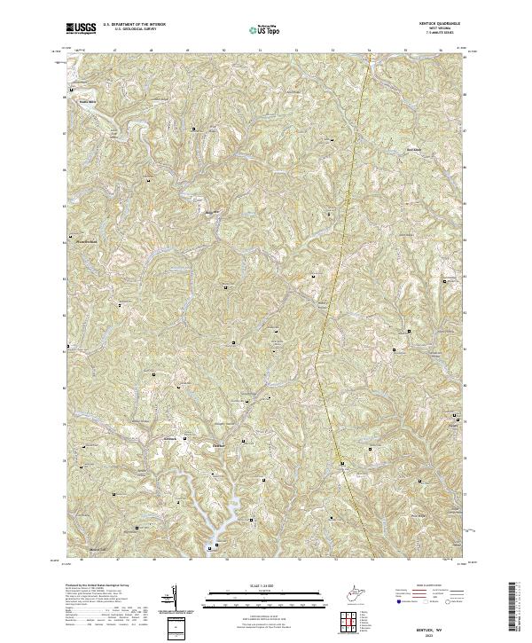
2023 Kentuck
Jackson County, WV
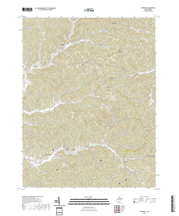
2023 Liverpool
Jackson County, WV
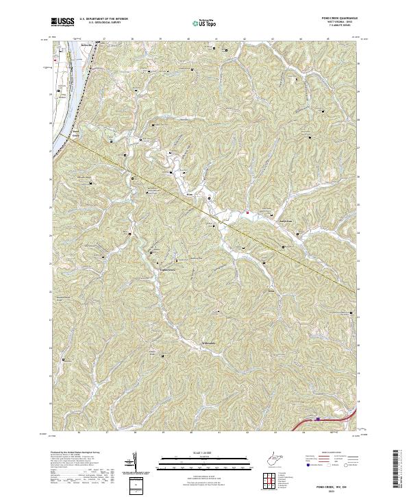
2023 Pond Creek
Jackson County, WV
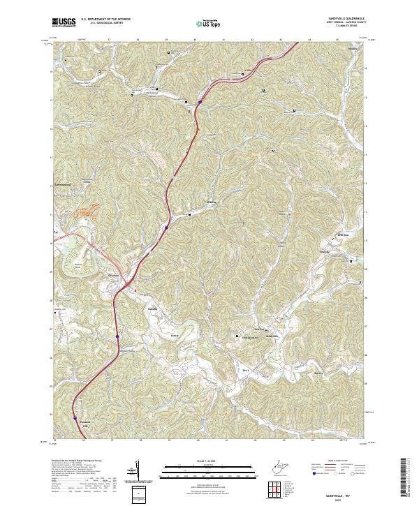
2023 Sandyville
Jackson County, WV