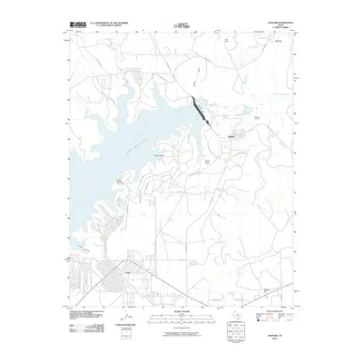
2010 Map of Sanford
USGS Topo · Published 2010About this map
Lake Meredith dominates the landscape north of Fritch, its waters held by the massive Sanford Dam across the Canadian River. This 2010 survey shows a region where industrial activity and recreation exist side-by-side. The Sanford Yake Oil Field and the settlement of Oil City speak to the enduring petroleum economy of the Texas Panhandle, while the Fritch Fortress Picnic Area highlights the importance of the reservoir for local tourism. The terrain is deeply incised by drainages such as Cedar Canyon and Fritch Canyon, which feed into the primary basin. The map provides clear detail of the road network around Sanford, including Ranch Rd 1319 and Phillips Camp Rd, tracing the pathways between residential areas and the surrounding cattle ranches like Yake Ranch. Local history is anchored by the Sanford Cemetery and the more modern Westlawn Memorial Park to the south.
Find a feature on this map
42 named features on this map. Tap any name to fly to it.
Don’t see what you’re looking for? This feature index may not catch every label — zoom into the map to look around manually.
Map Details
Editions of this 2010 Sanford Map
This is the sole edition of this map. No revisions or reprints were ever made.
Other maps of this area

1939 · Sanford
USGS Topo · 1:62,500

1953 · Sanford
USGS Topo · 1:24,000

1953 · Alibates Ranch
USGS Topo · 1:24,000

1953 · Stinnett
USGS Topo · 1:24,000

1953 · Evans Canyon
USGS Topo · 1:24,000

1953 · Deal
USGS Topo · 1:24,000

1953 · McBride
USGS Topo · 1:24,000

1953 · Borger
USGS Topo · 1:24,000

1954 · Amarillo
USGS Topo · 1:250,000

1958 · Amarillo
USGS Topo · 1:250,000