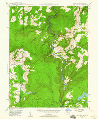
1947 Map of Sang Run
USGS Topo · Published 1960About this map
Youghiogheny River carves a deep path through this 1947 survey of the Maryland and West Virginia borderlands. The landscape is defined by its transition from agricultural glades to the dense timber of Swallow Falls State Forest. Settlement patterns are concentrated around the valley floor at Sang Run and the western plateau near Cranesville, where local infrastructure like Lynn Dale Sch and White Rock Ch served the rural population. The emergence of modern energy is evident near Deep Creek Lake in the southeast, where a Power Plant and Surge Tank mark the early development of hydroelectric utility. Along the high ridges such as Piney Mountain and Snaggy Mountain, surveyors identified a Lookout Tower and the intriguing Friends Salt Peter Cave, pointing to the area's mix of natural resource management and local legend.
Find a feature on this map
59 named features on this map. Tap any name to fly to it.
Don’t see what you’re looking for? This feature index may not catch every label — zoom into the map to look around manually.
Map Details
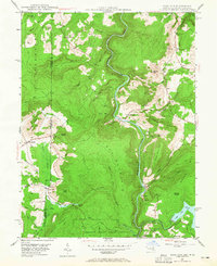
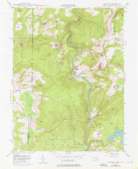
Editions of this 1947 Sang Run Map
3 editions found
Other maps of this area

1886 · St. George
USGS Topo · 1:125,000

1891 · St. George
USGS Topo · 1:125,000

1895 · Piedmont
USGS Topo · 1:125,000

1899 · Oakland
USGS Topo · 1:62,500

1900 · Accident
USGS Topo · 1:62,500

1900 · Oakland
USGS Topo · 1:62,500

1904 · Bruceton
USGS Topo · 1:62,500

1907 · Kingwood
USGS Topo · 1:62,500

1925 · Kingwood
USGS Topo · 1:62,500

1926 · Bruceton
USGS Topo · 1:62,500