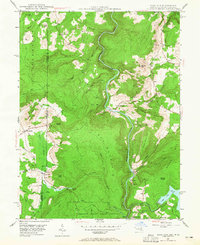
1947 Map of Sang Run
USGS Topo · Published 1965About this map
The Youghiogheny River carves a deep path through this borderland, where the Maryland-West Virginia state line divides the high-altitude terrain of Piney Mountain and Snaggy Mountain. At the heart of the map, the small settlement of Sang Run serves as a focal point near the river's winding course. This mid-century survey captures the landscape just before modern development intensified, showing the early footprint of the Swallow Falls State Forest and the southern reach of Deep Creek Lake. Local history is preserved in the location of the Miller Cem and country institutions like White Rock Ch and Elder Sch. A significant industrial landmark, the Power Plant and its accompanying Surge Tank, stands near the river, illustrating the region's hydro-electric infrastructure. The map also records unique natural features like Friends Salt Petre Cave and the series of drops at Gap Falls.
Find a feature on this map
54 named features on this map. Tap any name to fly to it.
Don’t see what you’re looking for? This feature index may not catch every label — zoom into the map to look around manually.
Map Details
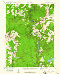
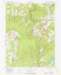
Editions of this 1947 Sang Run Map
3 editions found
Other maps of this area

1886 · St. George
USGS Topo · 1:125,000

1891 · St. George
USGS Topo · 1:125,000

1895 · Piedmont
USGS Topo · 1:125,000

1899 · Oakland
USGS Topo · 1:62,500

1900 · Accident
USGS Topo · 1:62,500

1900 · Oakland
USGS Topo · 1:62,500

1904 · Bruceton
USGS Topo · 1:62,500

1907 · Kingwood
USGS Topo · 1:62,500

1925 · Kingwood
USGS Topo · 1:62,500

1926 · Bruceton
USGS Topo · 1:62,500