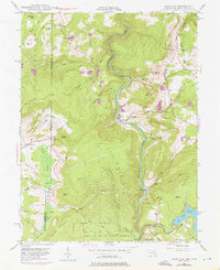
1947 Map of Sang Run
USGS Topo · Published 1976About this map
The Youghiogheny River carves a deep, winding path through this corner of Garrett County, Maryland, and Preston County, West Virginia, at the end of the 1940s. The landscape is defined by the sharp elevations of Piney Mountain and Snaggy Mountain, where isolated homesteads and small settlements like Cranesville and Sang Run dot the ridges and valleys. Evidence of the local timber economy appears at the Sawmill near the West Virginia border, while spiritual and educational life centers on landmarks like White Rock Ch and the Lynn Dale Sch. In the southeast, the waters of Deep Creek Lake begin to emerge, contrasting with the preservation of the Swallow Falls State Forest. The map also captures specialized sites like the Friends Salt Petre Cave and the industrial infrastructure of a Power Plant and Surge Tank along the river.
Find a feature on this map
56 named features on this map. Tap any name to fly to it.
Don’t see what you’re looking for? This feature index may not catch every label — zoom into the map to look around manually.
Map Details
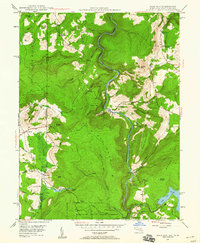
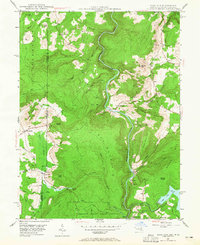
Editions of this 1947 Sang Run Map
3 editions found
Other maps of this area

1886 · St. George
USGS Topo · 1:125,000

1891 · St. George
USGS Topo · 1:125,000

1895 · Piedmont
USGS Topo · 1:125,000

1899 · Oakland
USGS Topo · 1:62,500

1900 · Accident
USGS Topo · 1:62,500

1900 · Oakland
USGS Topo · 1:62,500

1904 · Bruceton
USGS Topo · 1:62,500

1907 · Kingwood
USGS Topo · 1:62,500

1925 · Kingwood
USGS Topo · 1:62,500

1926 · Bruceton
USGS Topo · 1:62,500