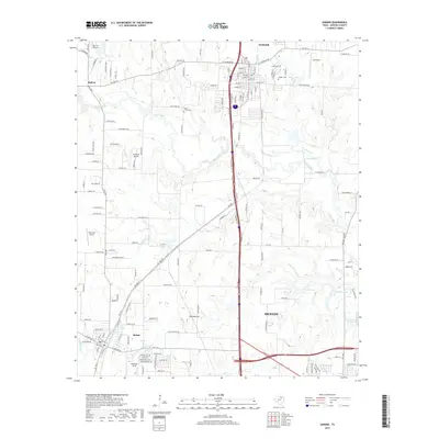
2019 Map of Sanger
USGS Topo · Published 2019About this map
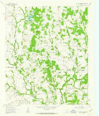
Sanger serves as the primary hub of this North Texas landscape, where the town's street grid is neatly organized east of the Interstate 35 corridor. To the southwest, the smaller settlement of Krum anchors a growing residential network, while the legacy of earlier rural communities is preserved at Bolivar and Blue Mound. This 2019 survey illustrates a region where aviation is remarkably prominent, featuring several private airstrips and facilities such as Richards Airport, Ironhead Airport, Addington Field, and the Bar V K Airport.
Find a feature on this map
147 named features on this map. Tap any name to fly to it.
Don’t see what you’re looking for? This feature index may not catch every label — zoom into the map to look around manually.
Map Details
Editions of this 2019 Sanger Map
This is the sole edition of this map. No revisions or reprints were ever made.
Other maps of this area

1954 · Sherman
USGS Topo · 1:250,000

1958 · Sherman
USGS Topo · 1:250,000

1959 · Ponder
USGS Topo · 1:24,000

1960 · Sanger
USGS Topo · 1:24,000

1960 · Green Valley
USGS Topo · 1:24,000
1960 · Denton East
USGS Topo · 1:24,000
1960 · Denton West
USGS Topo · 1:24,000

1961 · Era
USGS Topo · 1:24,000
1961 · Era SE
USGS Topo · 1:24,000
1961 · Mountain Springs
USGS Topo · 1:24,000