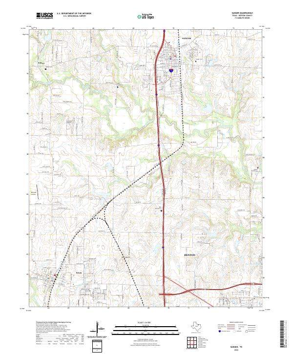
2022 Map of Sanger
USGS Topo · Published 2022About this map
The BNSF Railway corridor serves as the central spine of this modern Denton County landscape, linking the established centers of Sanger and Krum. The terrain is defined by a dense network of tributaries including Clear Creek, Duck Cr, and Moores Br, which weave between agricultural fields and expanding rural residential developments. Local heritage is deeply rooted in several community burying grounds, including Sanger Cem and the more isolated Gribble Springs Cem, alongside historical clusters like Bolivar. The presence of small aviation facilities such as Ironhead Airport and Richards Airport reflects the region's blend of traditional land use and private infrastructure. Distinctive topographical features like the Blue Mound elevation and accompanying Blue Mound Cem provide clear markers of the area's physical and social geography within the North Texas plains.
Find a feature on this map
163 named features on this map. Tap any name to fly to it.
Don’t see what you’re looking for? This feature index may not catch every label — zoom into the map to look around manually.
Map Details
Editions of this 2022 Sanger Map
This is the sole edition of this map. No revisions or reprints were ever made.
Other maps of this area

1954 · Sherman
USGS Topo · 1:250,000

1958 · Sherman
USGS Topo · 1:250,000

1959 · Ponder
USGS Topo · 1:24,000

1960 · Sanger
USGS Topo · 1:24,000

1960 · Green Valley
USGS Topo · 1:24,000
1960 · Denton East
USGS Topo · 1:24,000
1960 · Denton West
USGS Topo · 1:24,000

1961 · Era
USGS Topo · 1:24,000
1961 · Era SE
USGS Topo · 1:24,000
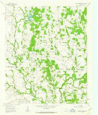
1961 · Mountain Springs
USGS Topo · 1:24,000