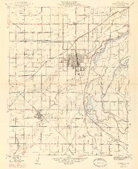
1947 Map of Sanger
USGS Topo · Published 1947About this map
The Sanger and Del Rey agricultural landscapes of Fresno County are captured here just after World War II, showing a territory defined by complex irrigation and dual rail lines. The Southern Pacific tracks run through the heart of Sanger, while the Atchison Topeka and Santa Fe serves Del Rey to the southwest, illustrating the vital transportation corridors that moved the Central Valley’s produce.
Find a feature on this map
55 named features on this map. Tap any name to fly to it.
Don’t see what you’re looking for? This feature index may not catch every label — zoom into the map to look around manually.
Map Details
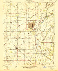
Editions of this 1947 Sanger Map
2 editions found
Other maps of this area

1920 · Orangedale School
USGS Topo · 1:24,000

1922 · Round Mountain
USGS Topo · 1:31,680

1922 · Trimmer
USGS Topo · 1:96,000

1923 · Malaga
USGS Topo · 1:31,680

1923 · Orangedale School
USGS Topo · 1:31,680

1923 · Clovis
USGS Topo · 1:31,680

1923 · Wahtoke
USGS Topo · 1:31,680

1923 · Sanger
USGS Topo · 1:31,680

1924 · Reedley
USGS Topo · 1:31,680

1924 · Selma
USGS Topo · 1:31,680