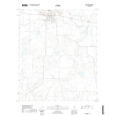
2022 Map of Santa Anna
USGS Topo · Published 2022About this map
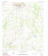
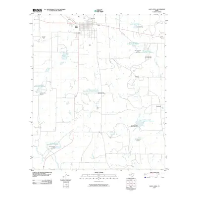
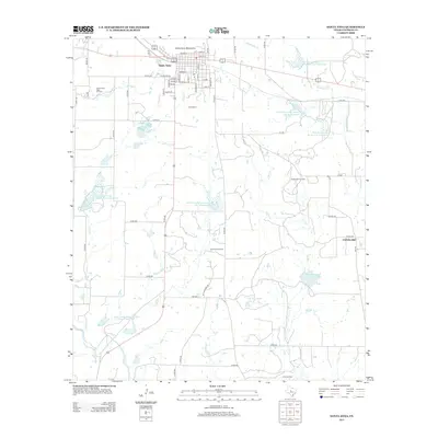
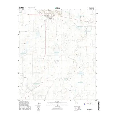
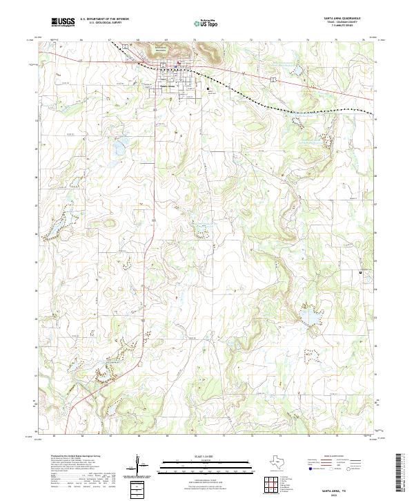
The Santa Anna Mountains dominate the northern skyline of this Coleman County landscape, providing a dramatic backdrop for the town of Santa Anna. This modern survey details the residential grid of the community, where streets like S Sante Fe Ave and Bowie Ave intersect near the base of the peaks. Beyond the town limits, the terrain is defined by a series of water management projects, including Soil Conservation Service Site 14 Reservoir and Soil Conservation Service Site 6 Reservoir, which dot the drainages of Mukewater Cr and Horse Creek. Genealogy researchers will find precise locations for the Santa Anna Cem on the town's eastern edge and the more remote Cleveland Cem to the southeast. The map also traces the winding courses of Sweetie Cr and Home Creek, illustrating the complex local watershed and its relationship to rural landmarks like C E Kingsbery Lake.
Find a feature on this map
62 named features on this map. Tap any name to fly to it.
Don’t see what you’re looking for? This feature index may not catch every label — zoom into the map to look around manually.
Map Details
Editions of this 2022 Santa Anna Map
This is the sole edition of this map. No revisions or reprints were ever made.
Historical Maps of Santa Anna Through Time
6 maps found